REVEALING THE INVISIBLE

Multispectral Drone Solutions

Unlock ground-breaking insights with advanced drone technology that sees beyond the visible spectrum.

Revolutionary Drone Technology

Multispectral drones combine advanced imaging sensors with precision flight capabilities to capture data across multiple light spectrums. This technology enables unprecedented insights in agriculture, environmental monitoring, and infrastructure inspection, revolutionizing how we understand and manage resources.

The Science Behind Multispectral Imaging

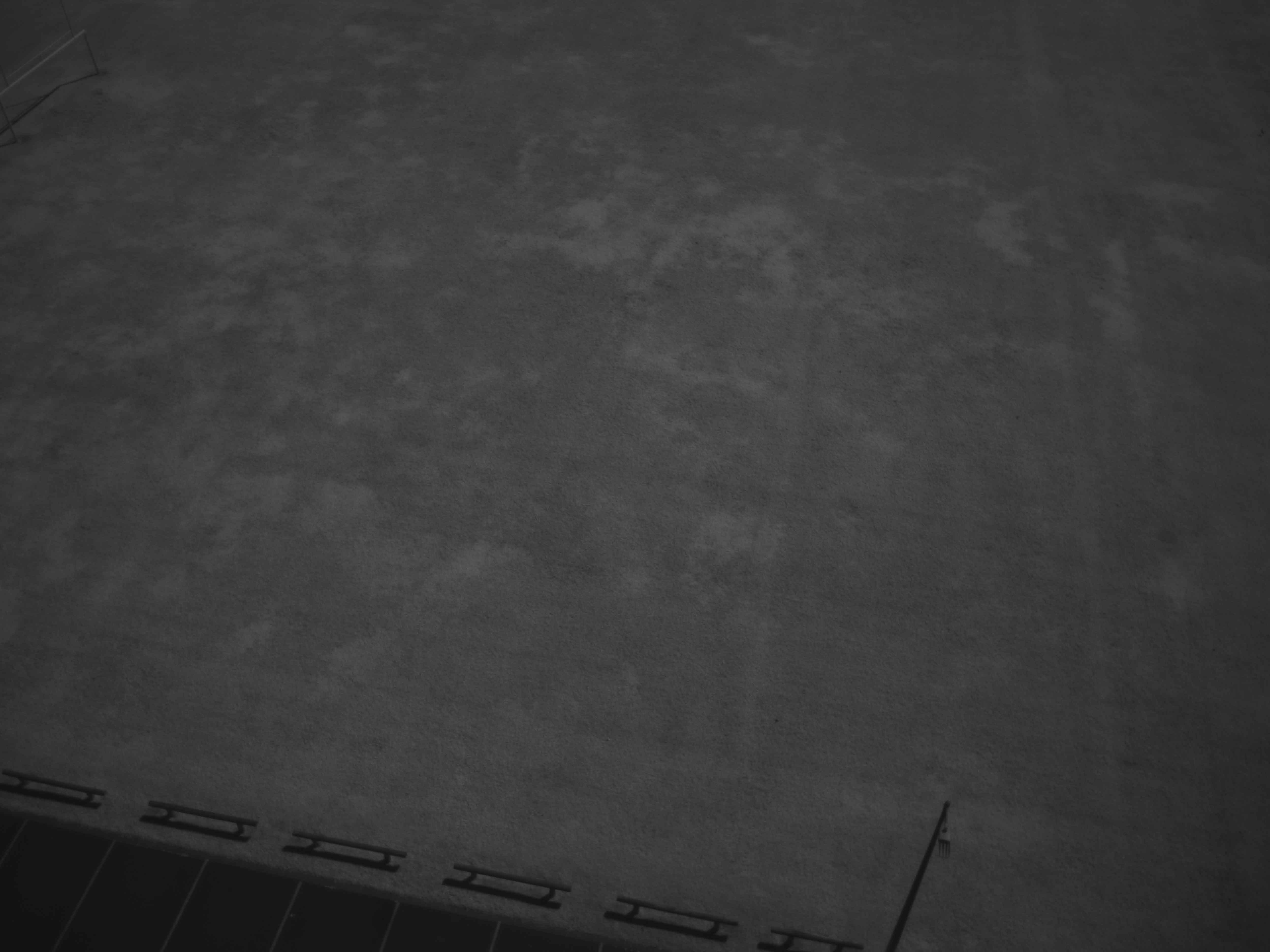
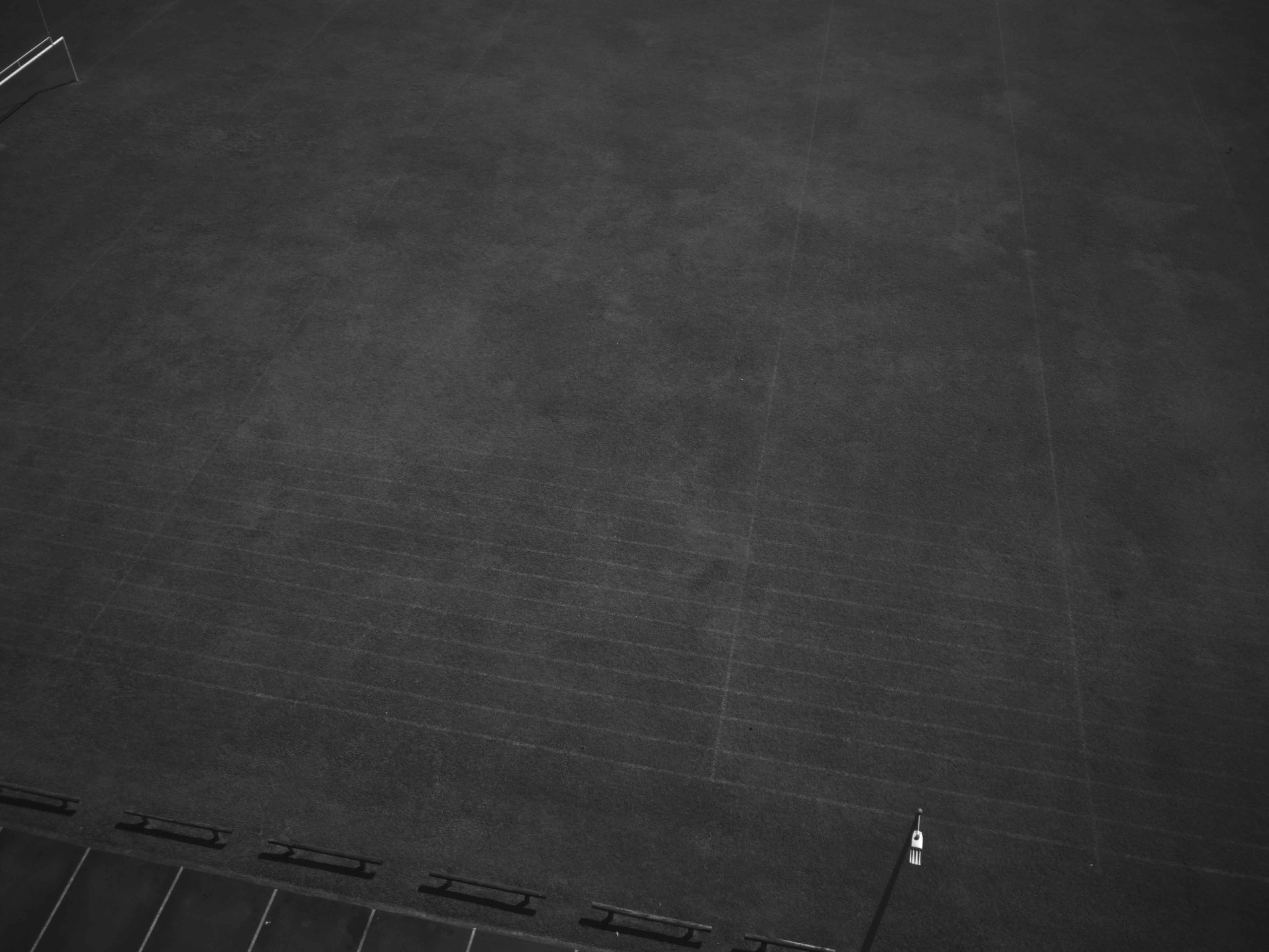
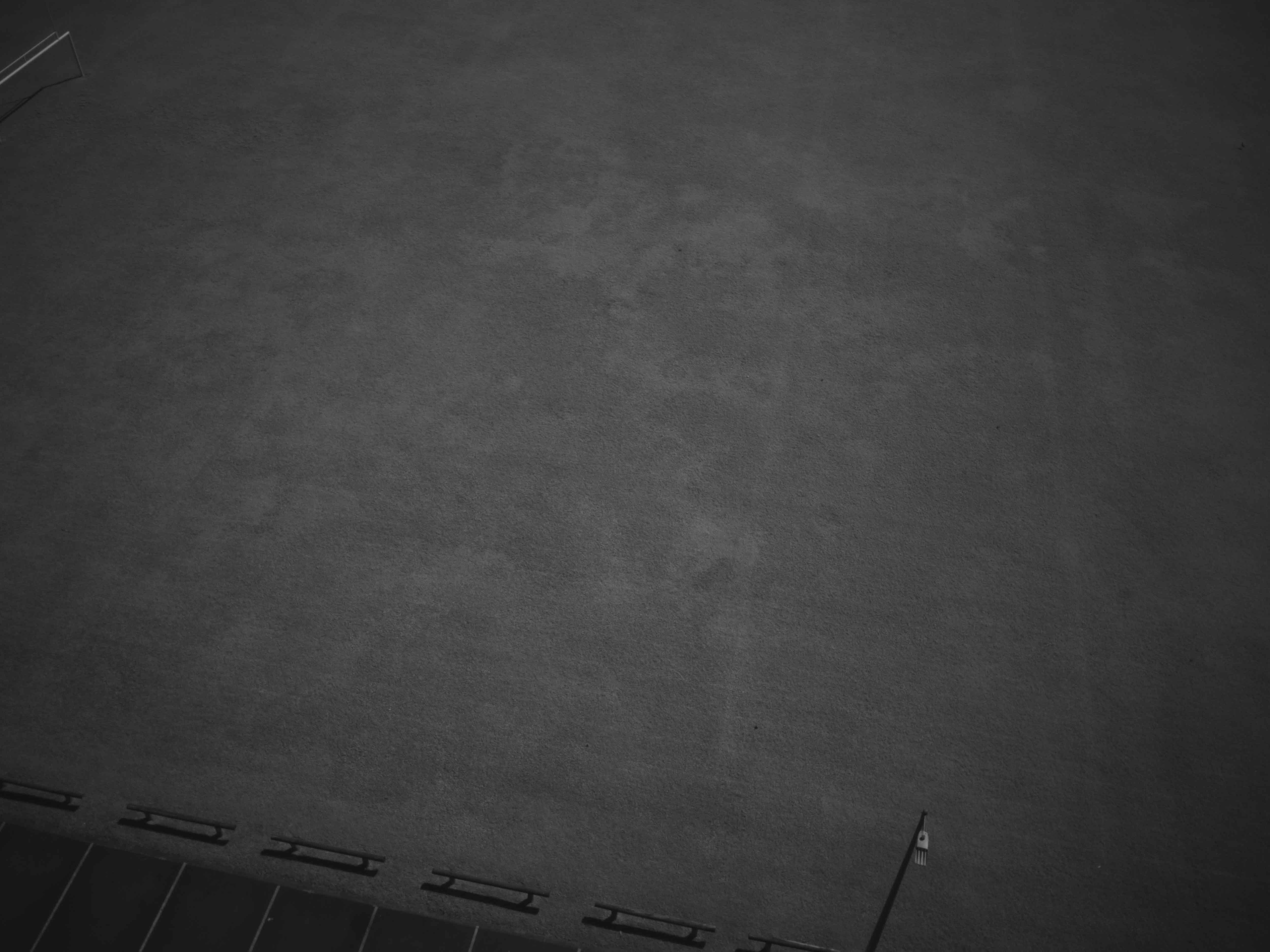
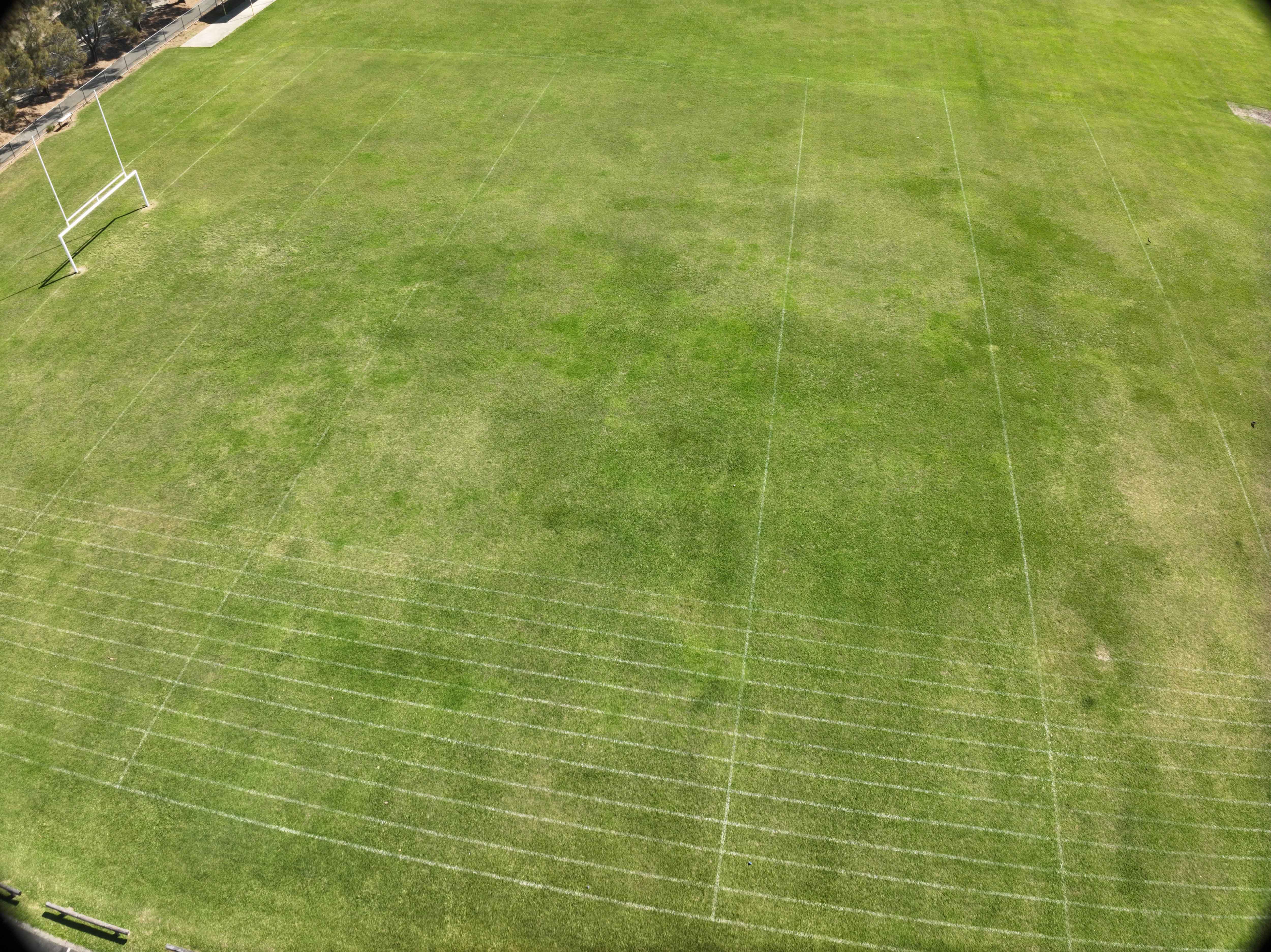
Multispectral drones represent the cutting edge of precision agriculture and environmental monitoring. These specialised aircraft capture images across multiple wavelength bands - including those invisible to the human eye - revealing crucial data about vegetation, soil conditions, and environmental health.

Key Spectral Bands & Their Applications

Near-Infrared (NIR)
Reveals vital information about plant health and biomass that's invisible to the naked eye. Perfect for assessing crop vigour, water stress, and overall vegetation health.
Red-Edge
The critical transition zone between red and near-infrared bands. Enables early detection of plant stress and nutrient deficiency before visible signs appear.
Red Band
Essential for measuring chlorophyll absorption and creating standard vegetation indices like NDVI.
Green Band
Captures peak vegetation reflectance, providing detailed insights into canopy structure and early growth stages.
Blue Band
Ideal for soil type differentiation and water body analysis, offering comprehensive terrain mapping capabilities.

Blue Band Sensor (450 nm ± 10 nm)

Primary Applications: Bathymetric mapping, Soil type classification, Water body analysis Key Characteristics: Enhanced atmospheric penetration capabilities. Optimised for water reflection analysis. Critical for aquatic vegetation monitoring & Soil composition assessment

Green Band Sensor (520 nm ± 10 nm)

Primary Applications: Vegetation peak reflectance measurement, Canopy structure analysis & Early growth stage monitoring Key Characteristics: Optimised for green reflectance peak detection. Critical for photosynthetic activity assessment. Leaf structure analysis & Plant vigor evaluation.

Red Band Sensor (630 nm ± 10 nm)

Wavelength Range: 620-640 nm Primary Applications: Chlorophyll absorption monitoring, Plant stress detection, Vegetation density mapping. Key Characteristics: Essential for NDVI calculations. High sensitivity to vegetation health variations. Crop disease detection & Biomass estimation.

Red Edge Band Sensor (770 nm ± 10 nm)

Primary Applications: Early stress detection, Nitrogen content assessment, Crop health variability mapping Key Characteristics: Critical transition zone measurement, Enhanced sensitivity to chlorophyll content changes,Early warning system for crop issues Nutrient deficiency detection.

Near-Infrared (NIR) Band Sensor (840 nm ± 26 nm)

Primary Applications: Biomass quantity assessment, Crop water stress monitoring & Plant vigor mapping. Key Characteristics: Optimal for vegetation structure analysis, Key for multiple vegetation indices, Water content assessment & Plant health monitoring.
Shop Now

Agricultural Excellence

Crop Health Monitoring
Early detection of crop stress, disease, and nutrient deficiencies through detailed vegetation analysis.
Irrigation Management
Optimise water usage by identifying moisture stress and irrigation effectiveness across fields.
Yield Optimization
Enhance crop yields through data-driven decisions and precise resource allocation.
Precision

Advanced Surveying Applications

At One Two Shoot Media, we specialise in the seamless deployment of multispectrural drones for a variety of applications, allowing for efficient data capture and analysis. Our process entails meticulous planning, precise execution, and the ability to see what the human eye can't see, providing valuable insights to our clients.

Land Mapping
Create detailed topographic maps and 3D models with unprecedented accuracy.
Environmental Monitoring
Track environmental changes and assess ecosystem health over time.
Resource Management
Optimize resource allocation through detailed spatial analysis.

Industry Applications

Agriculture

• Crop health assessment

• Irrigation management

• Pest and disease detection

• Yield prediction

Environmental Science

• Vegetation mapping

• Wildlife habitat monitoring

• Water quality assessment

• Forest health monitoring

The Process

Our comprehensive multispectral drone service follows a meticulous five-step process, ensuring high-quality data collection and analysis for every project. Each step is carefully executed by our qualified team, ensuring you receive the highest quality multispectral imaging services for your specific needs. Our process has been refined through years of experience across various industries, delivering consistent, reliable results for our clients.

Planning

Assessment of project requirements and flight planning

Data Collection

Systematic drone flights and multispectral imaging

Processing

Data processing and spectral analysis

Analysis

Interpretation and insights generation

Reporting

Detailed reports with actionable recommendations

5.00
Mel Bond
Parkwood Golf Course

Find answers to frequently asked questions about multispectral drones

A multispectral drone is an unmanned aerial vehicle equipped with specialized sensors that capture imagery across multiple wavelengths of light, including those invisible to the human eye. This technology allows us to gather detailed data about vegetation health, soil conditions, and other environmental factors.

Multiple industries benefit from this technology, including:

  • Agriculture (crop health monitoring, irrigation management)
  • Forestry (vegetation mapping, disease detection)
  • Environmental science (ecosystem monitoring, conservation)
  • Construction (land surveying, site planning)
  • Research institutions (data collection, analysis)
  • Resource management (land use planning, environmental impact assessment)

Multispectral drone imaging provides highly accurate data, with spatial resolution typically ranging from 2-10cm per pixel depending on flight height and sensors used. Our calibration processes ensure reliable and consistent data collection for accurate analysis and decision-making.

Optimal conditions include:

  • Clear or lightly clouded skies
  • Low wind speeds (typically under 25mph)
  • No precipitation
  • Good visibility
  • Consistent lighting conditions
    We carefully plan flights around weather conditions to ensure the highest quality data collection.

While both technologies capture data beyond visible light, they serve different purposes:

  • Multispectral imaging captures several specific bands of light to analyze surface properties and vegetation health
  • Thermal imaging detects heat signatures and temperature variations
    Some applications may benefit from using both technologies together.