Captivate

Ground Breaking 3D Visualisation

Experience the future of architectural visualisation with our cutting-edge 3D architectural visualization services. We specialise in capturing stunning 360-degree spheres and backplate imagery tailored for residential, commercial, and high-rise projects.

Enhancing Architectural Renders with Captivating 360 Spheres and Back Plate Imagery

Having a fleet of drones from small to large allows us to capture stunning 360-degree spheres and backplate imagery, revolutionising architectural rendering. By incorporating these immersive visuals, we enhance the detail and realism of our renders, providing our clients with an unparalleled visual experience. Why deal with two different parties and just work closely with the one supplier.

Transforming Construction with 3D Drone Rendering

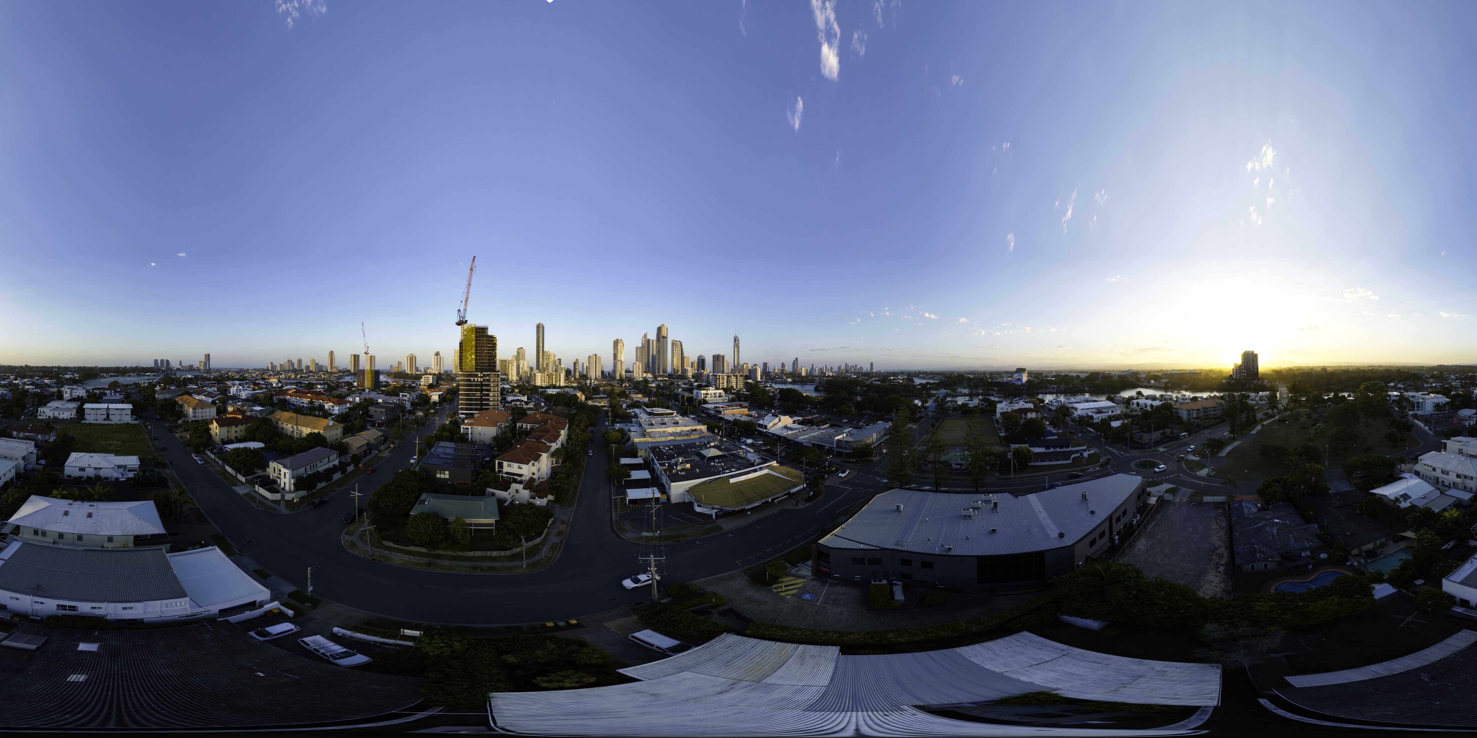
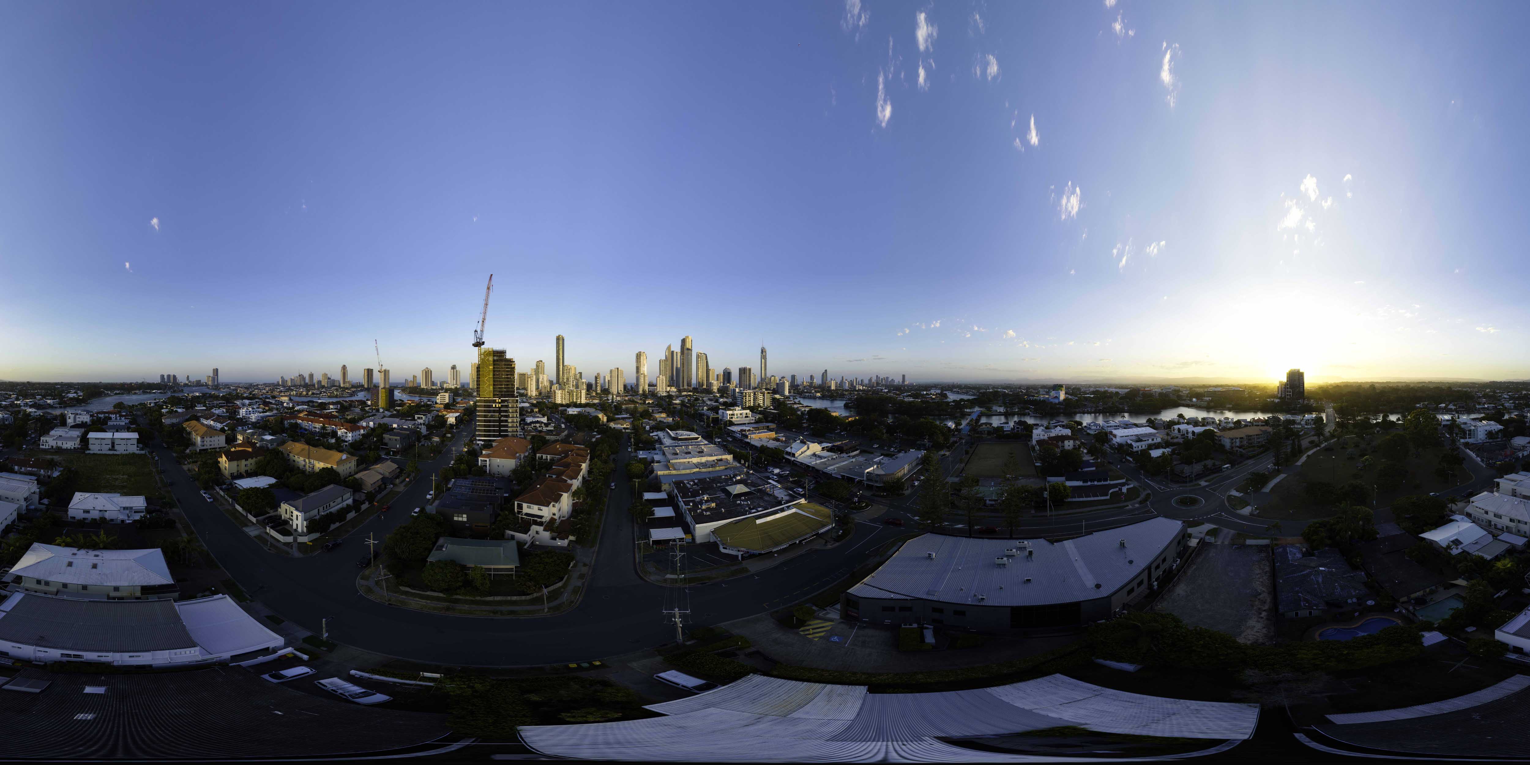
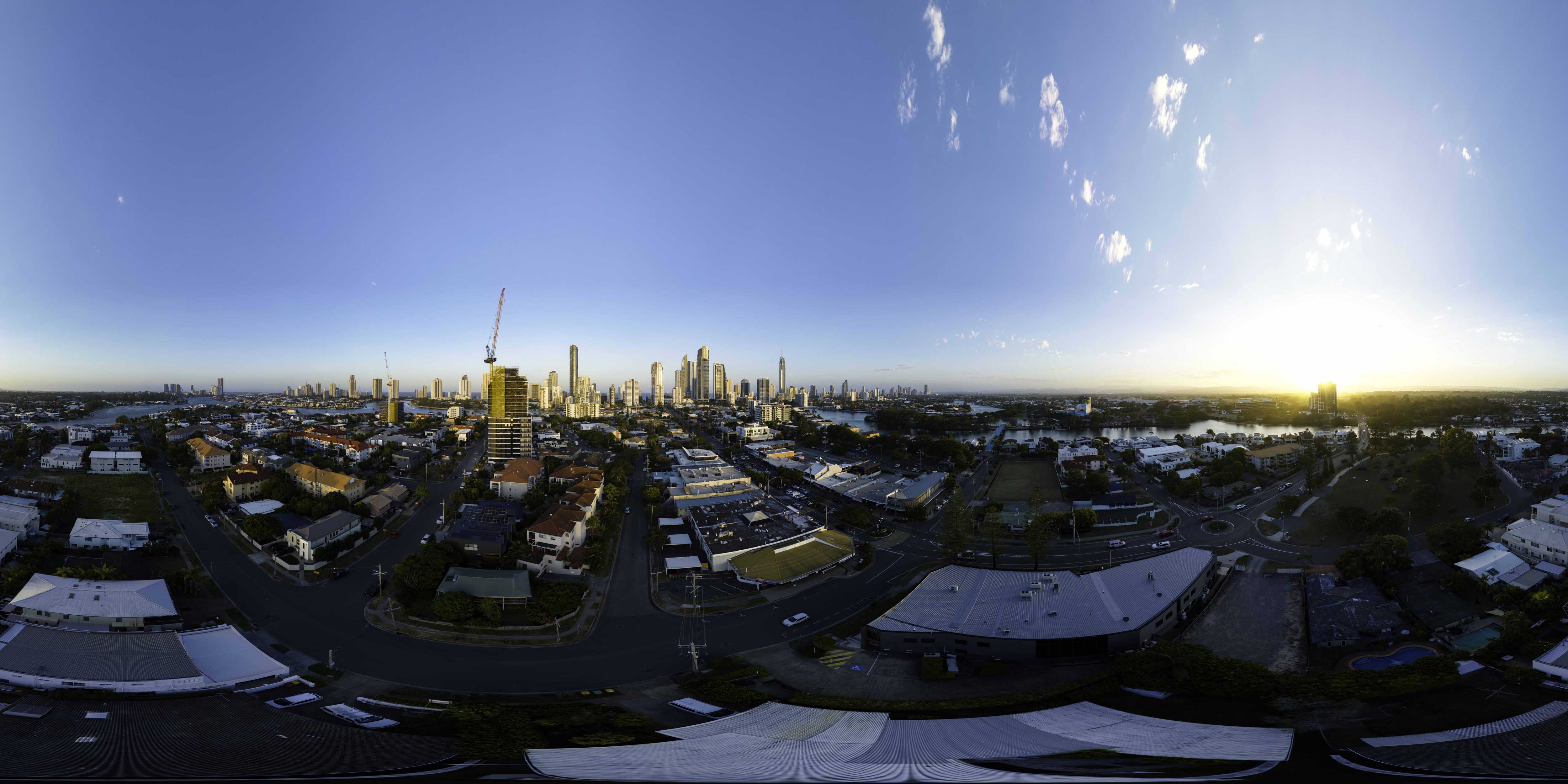
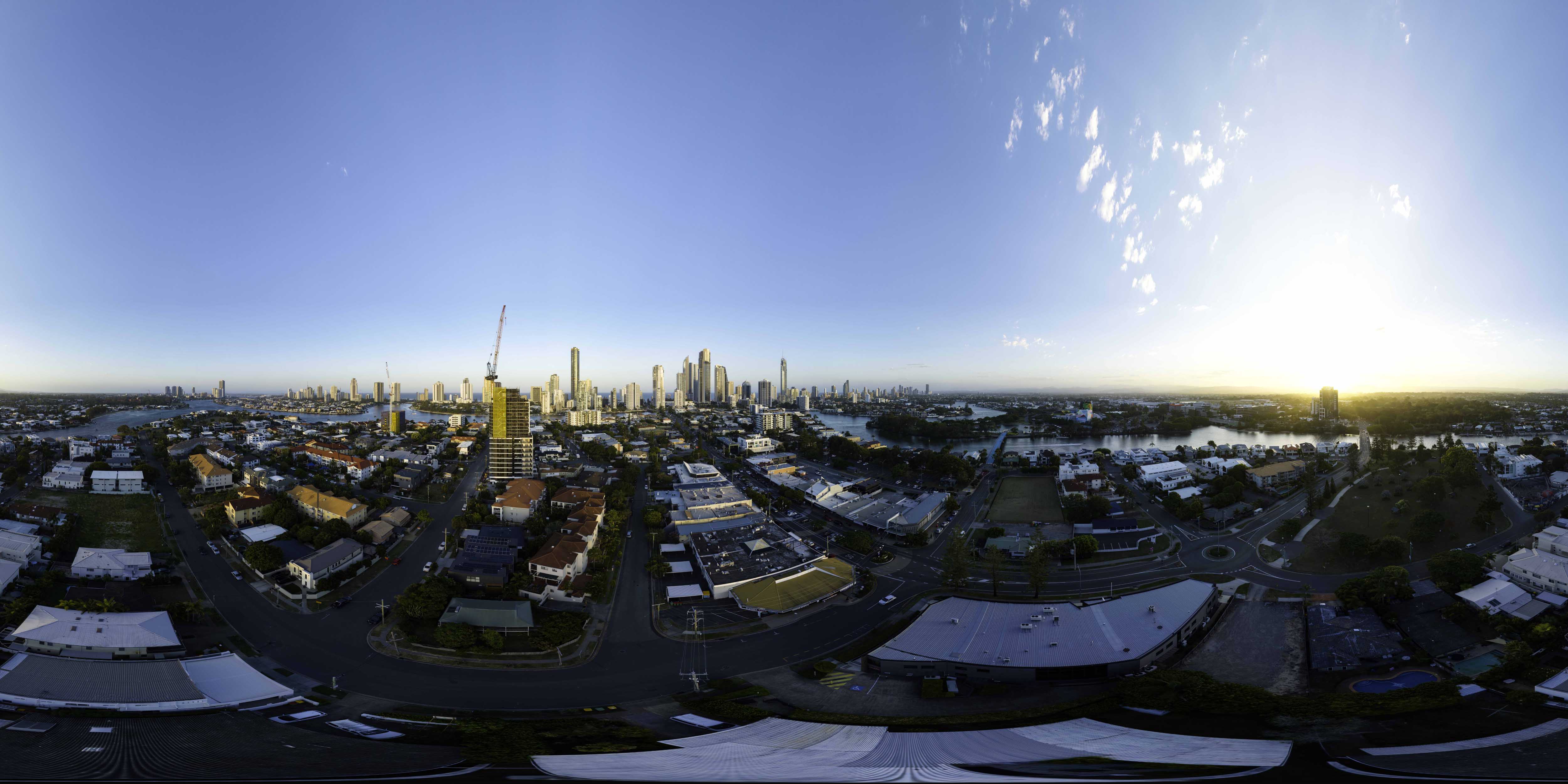
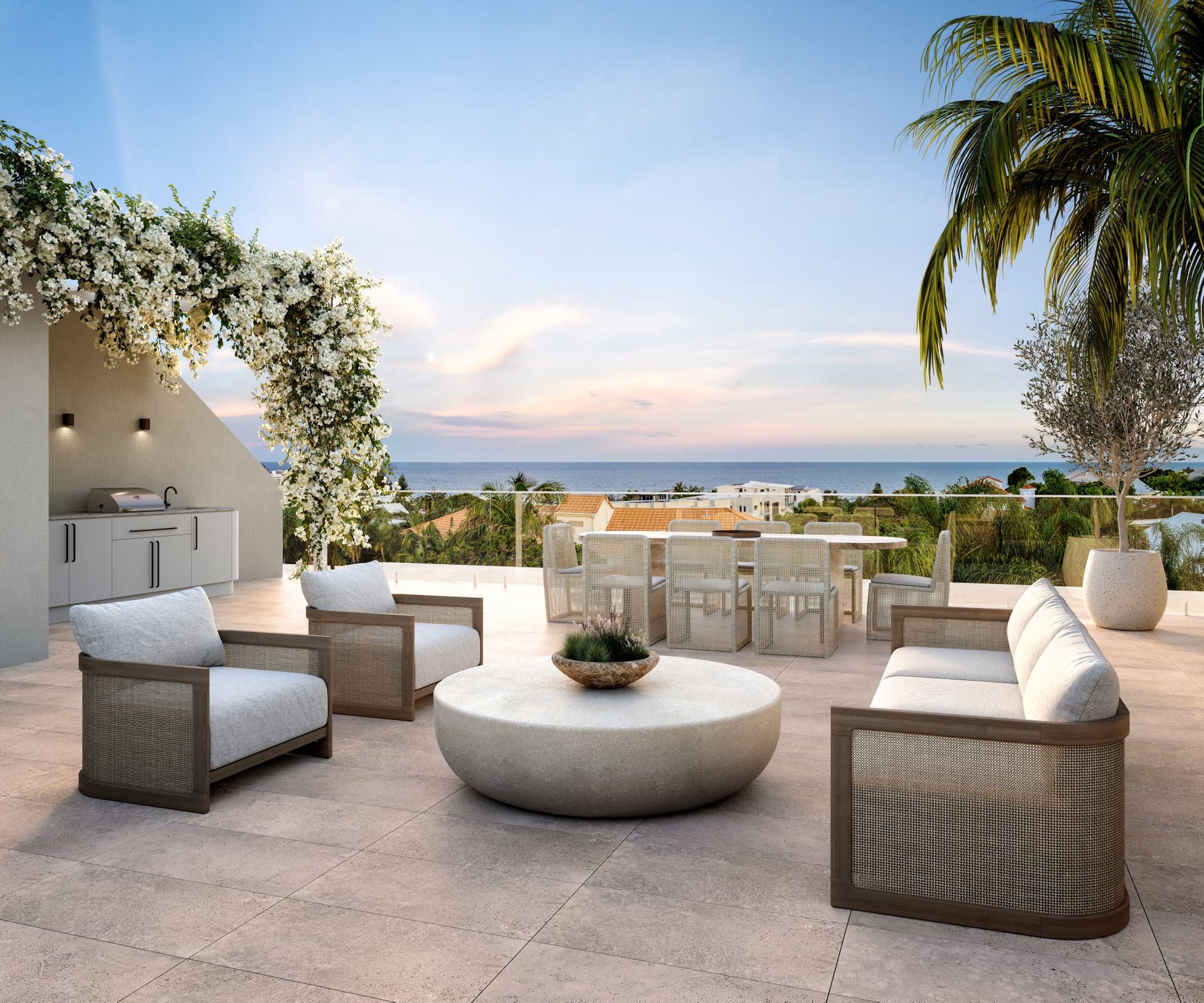
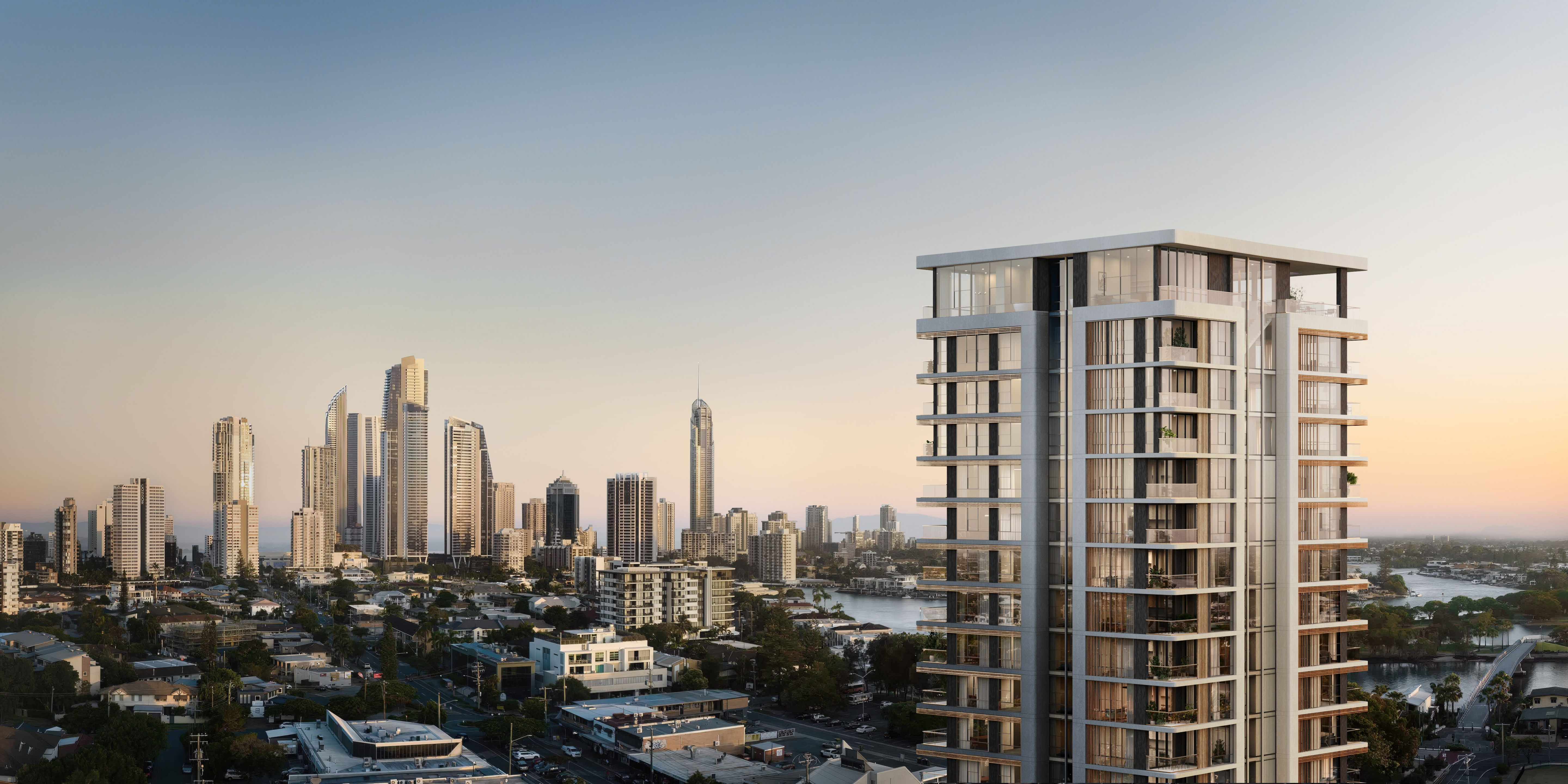
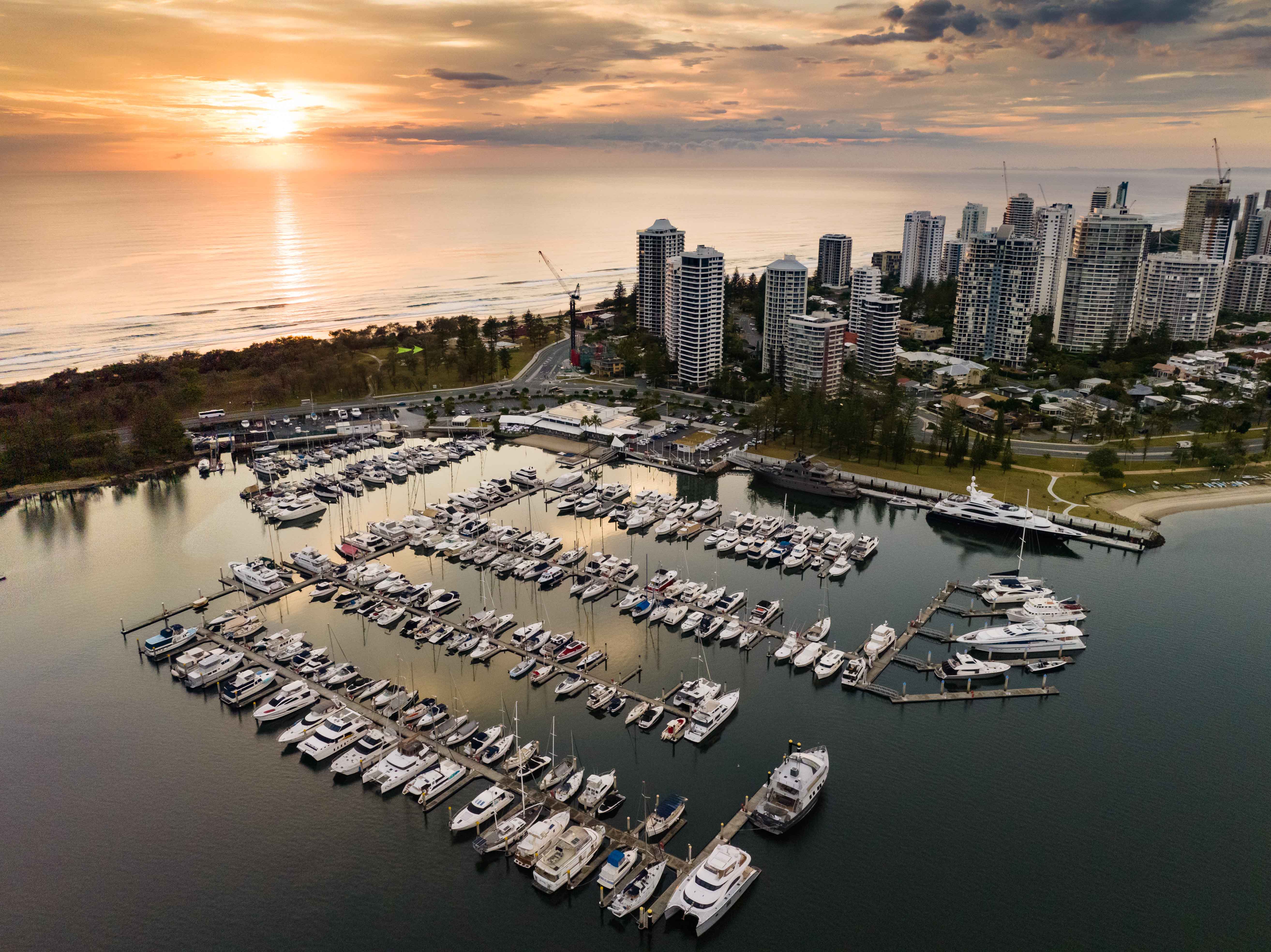
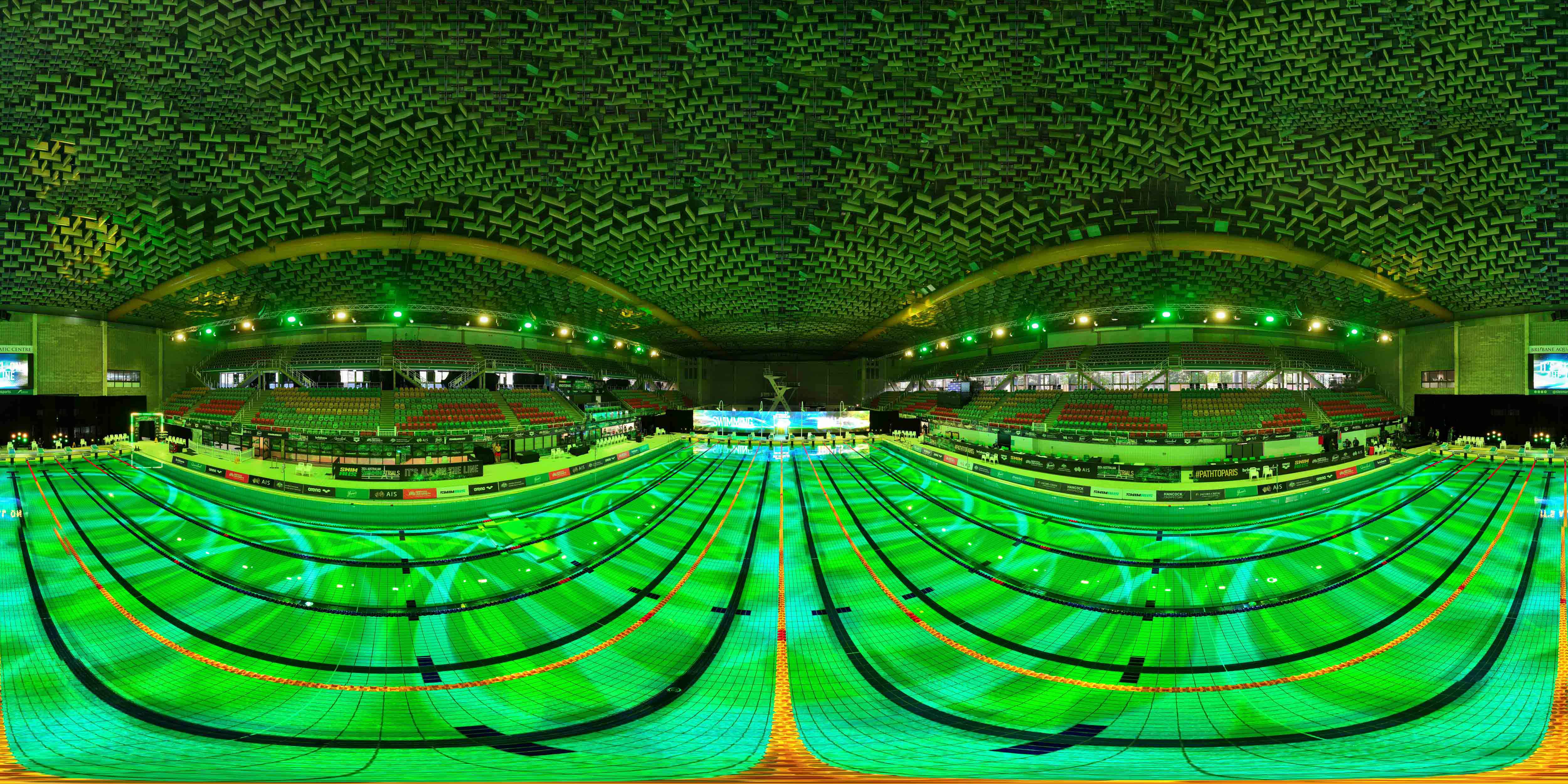
Experience the power of 3D rendering for residential, commercial, and Highrise builders and developers. Our drone services capture 360 spheres and back plate imagery for architectural visualization rendering, providing improved planning and presentations.

Enhanced Planning
Streamline your project workflow with precise visual representations of your designs.
Impressive Presentations
Captivate clients with immersive visuals that bring your architectural visions to life.

Panoramic View Lines for [Marketing Displays|3D Visualisation]

Panoramic aerial drone capture delivers unparalleled perspective of actual view lines and vantage points from multiple elevations, providing authentic visual documentation of what future residents will see from their homes. These high-resolution images serve dual purposes: they offer compelling marketing assets that showcase real views for potential purchasers, whilst also providing accurate backplates for architectural visualisation artists to create photorealistic 3D renderings that precisely represent how the completed development will integrate with its surroundings. Our drone-captured panoramas ensure perfect alignment of sight lines and viewing angles, enabling seamless integration between reality and visualisation.

Level 10

Level 12

Level 14

Level 18

Innovative

3D Drone Rendering Services

We capture the stunning visuals for architectural projects, and model them, all in-house.

Residential Rendering

Transforming homes with realistic 3D renderings.

Commercial Rendering

Bringing commercial spaces to life with 3D renderings.

Highrise Rendering

Visualising skyscrapers with realistic 3D rendering

Explore Our Comprehensive Range of Aerial Photography Services and Add-Ons

Enhance Your Project with Our Professional Drone Videography Services

Our drone videography captures stunning footage that elevates your visual storytelling.
Learn More

Incorporate Professional Editing Services into Your Aerial Photography Package

Our editing team will enhance your images, ensuring they stand out.
Contact Us

Capture Stunning 360-Degree Aerial Views for Your Next Project

Experience breathtaking panoramic imagery that showcases your location from every angle.
Learn More

Tailored Packages for Commercial and Creative Industries Available

We offer bespoke solutions to meet the unique needs of your projects.
Contact Us
5.00
Jarrod Mead
Empire Media

Find answers to common questions about our 3D architectural visualisation services

Architectural visualisation is the process of creating digital representations of buildings and spaces to help architects, designers, and clients visualise a project before it’s built. This can include 3D renderings, animations, and interactive models.

3D rendering is a technique used within architectural visualisation to produce photorealistic images of designs. Architectural visualization encompasses the entire process, including 3D modelling, rendering, and sometimes virtual reality and augmented reality experiences.

Yes, high-quality visualizations are excellent for marketing, as they showcase the completed look and feel of a project. Developers, real estate agents, and architects use these visuals to attract investors, buyers, and tenants.

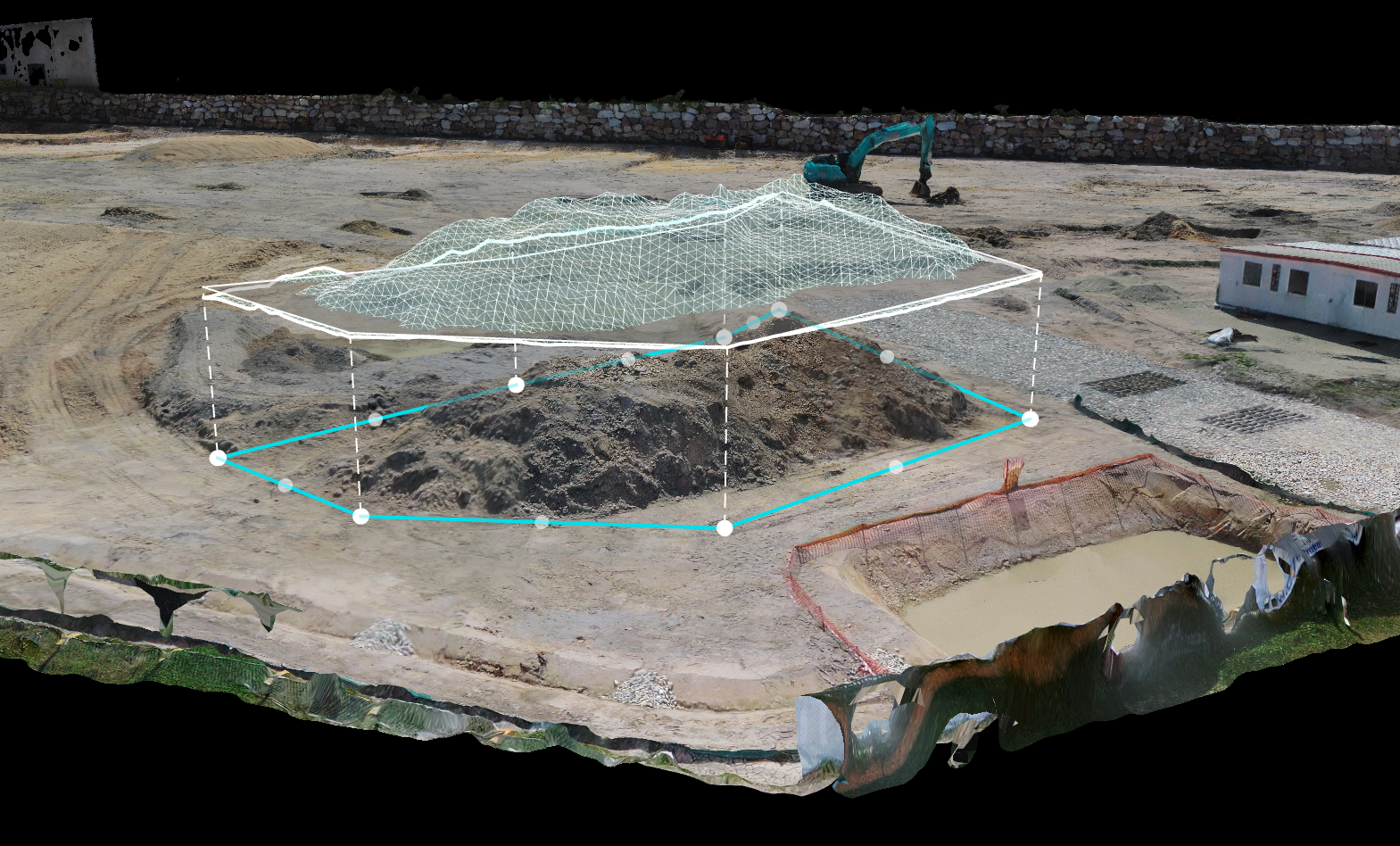
Drones capture aerial views and footage of project sites, providing unique perspectives and enabling accurate 3D models and context for visualisations. This is especially useful for large projects or for placing designs within their real-world environments.