
Immersive 360 Aerial Photography


Capturing Unique Perspectives with 360 Drone Photography
The Process of Capturing Stunning 360 Drone Photos
Step 1: Planning
Step 2: Execution
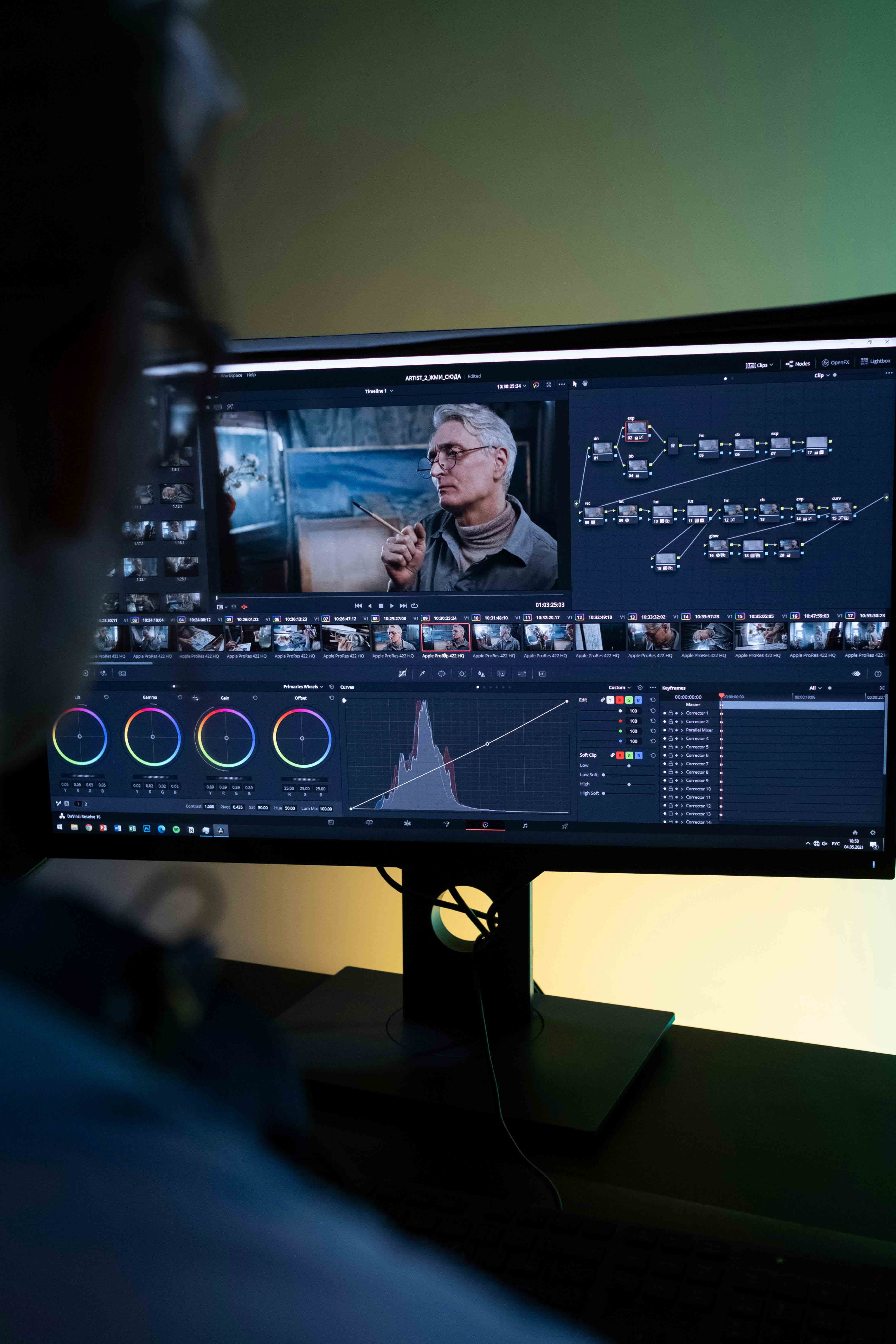
Step 3: Post-Production

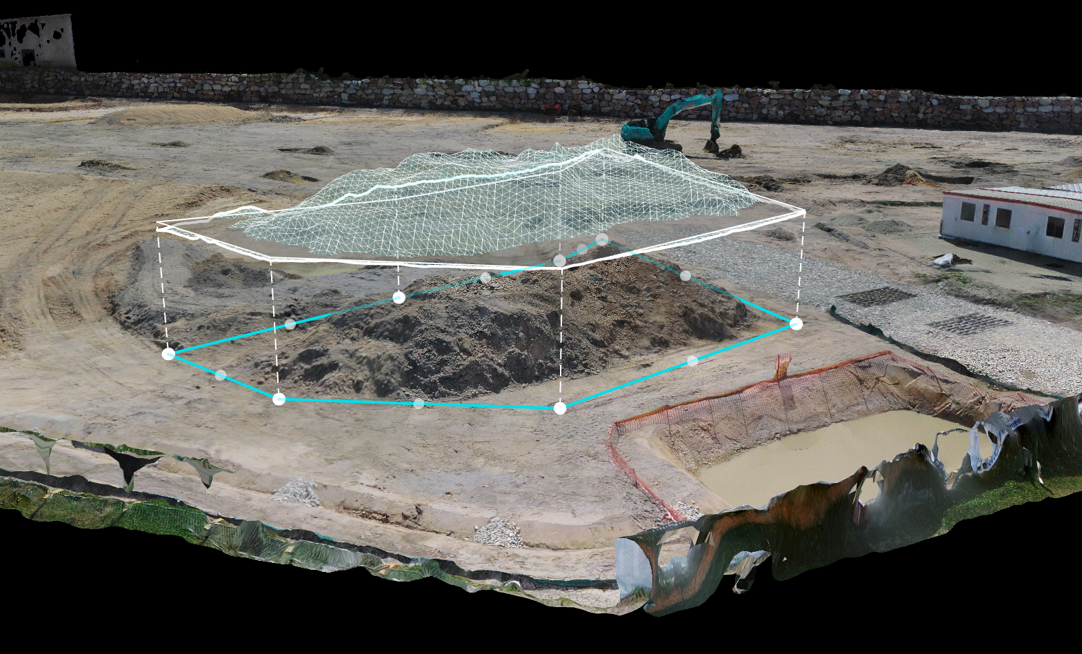
HDRi Image Capture for Enhanced 3D Modeling & CGI
HDRi image capture service provides high-dynamic-range imagery, perfect for creating realistic and immersive 3D models and CGI. By capturing multiple exposures and combining them into a single, detail-rich image, we bring true-to-life lighting and texture to your virtual environments. This technique allows for the highest level of precision in reflections, shadows, and highlights, ensuring your models and CGI compositions look authentic and engaging. Whether you’re enhancing architectural visualizations or adding realistic elements to cinematic projects, our HDRi images elevate your creative work to new levels of realism and depth.
Explore Our Comprehensive Range of Aerial Photography Services and Add-Ons

Enhance Your Project with Our Professional Drone Videography Services
Incorporate Professional Editing Services into Your Aerial Photography Package
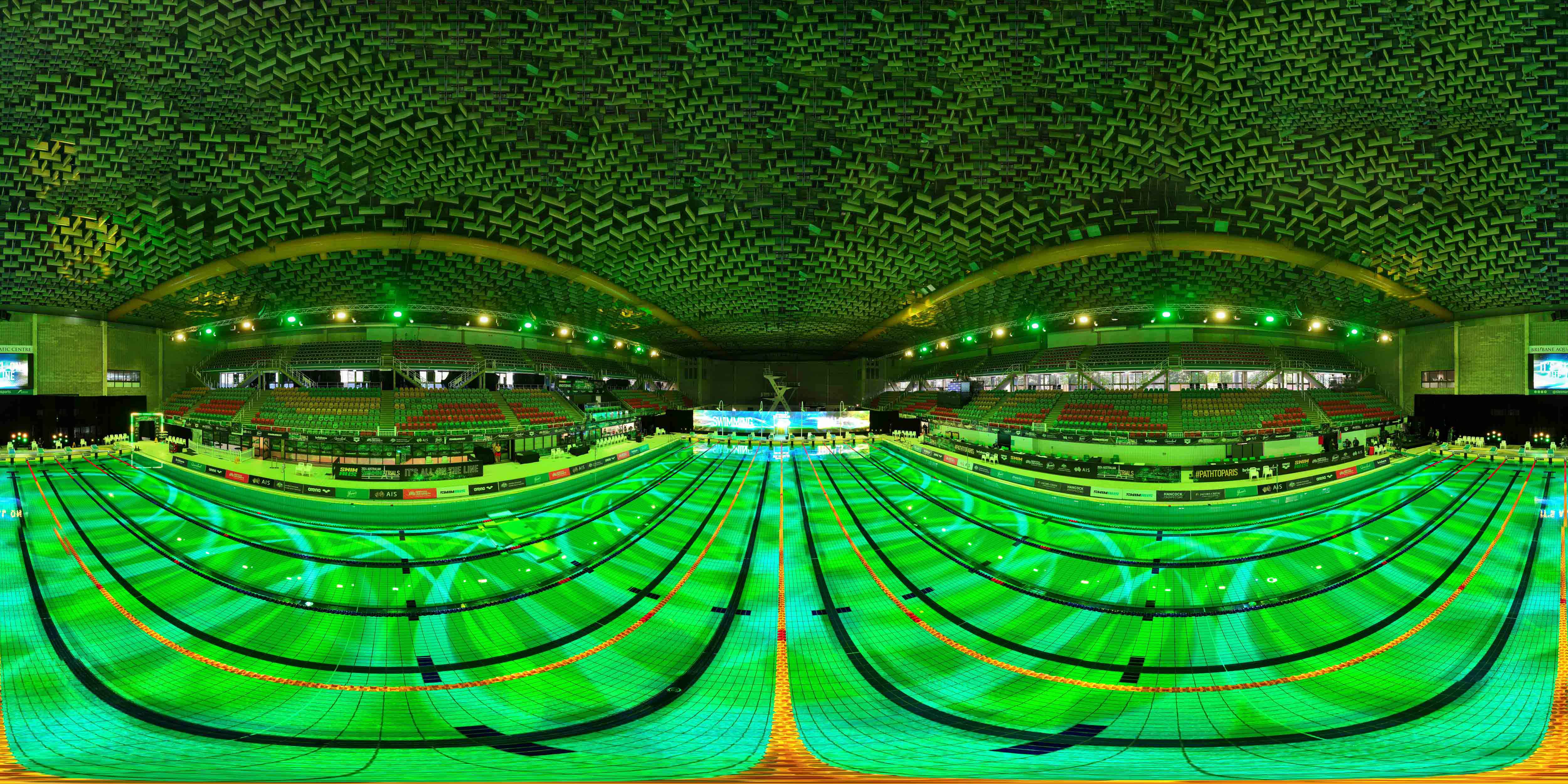
Capture Stunning 360-Degree Aerial Views for Your Next Project
Tailored Packages for Commercial and Creative Industries Available
Find answers to common questions about our 360 drone photography services.
360 drone photography captures immersive, spherical images or videos from above, allowing viewers to explore a scene from all angles in a single shot. Perfect for real estate, tourism, events, VFX, CGI and more.
Our drones take multiple photos or videos in every direction. In the post-production phase, we stitch these images together to create a seamless, interactive 360-degree view.
Yes, our 360 images are VR-ready, meaning they can be viewed with VR headsets, allowing viewers to experience the scene as if they’re actually there.
HDRi, or High Dynamic Range imaging, is crucial for achieving realistic lighting, reflections, and shadows in CGI and VFX. It captures a broad range of light intensities in one image, providing accurate environmental lighting data. This data is used to illuminate 3D models
