Experience Unmatched Precision with Our 3D Mapping and Digital Twin Solutions
Our cutting-edge drone technology delivers highly accurate 3D maps and digital twins. Transform your projects with detailed visualisation and data-driven insights.
Discover the Innovative Process Behind Our 3D Mapping Solutions
Initial Survey and Planning
Our team conducts a thorough site assessment to determine the best approach for mapping.
Drone Flight Execution
Drones capture high-resolution images and data, ensuring precision in every detail of the mapping.
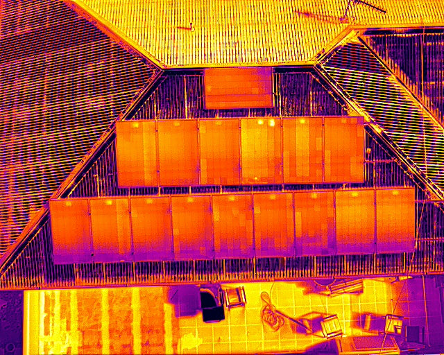
Drone Flight and Data Capture for Precision Mapping
Our advanced software processes the data, creating accurate 3D models and digital twins.
Final Delivery and Support
We deliver the final products with ongoing support to ensure your satisfaction and project success.
Revolutionise Your Projects with Accurate Drone-Based 3D Mapping Solutions
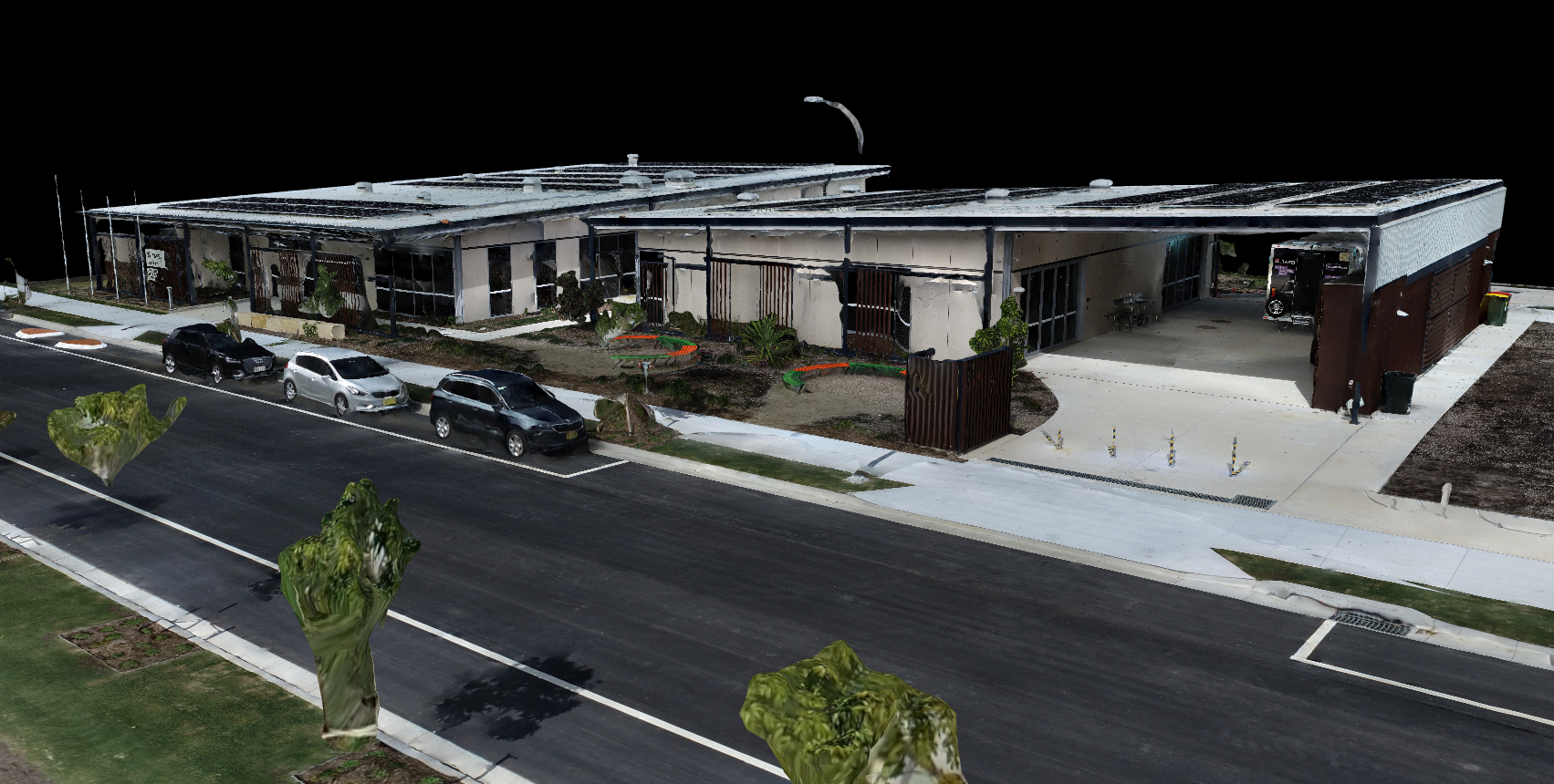
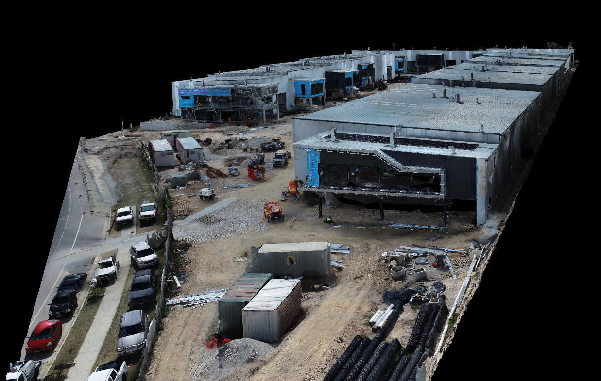
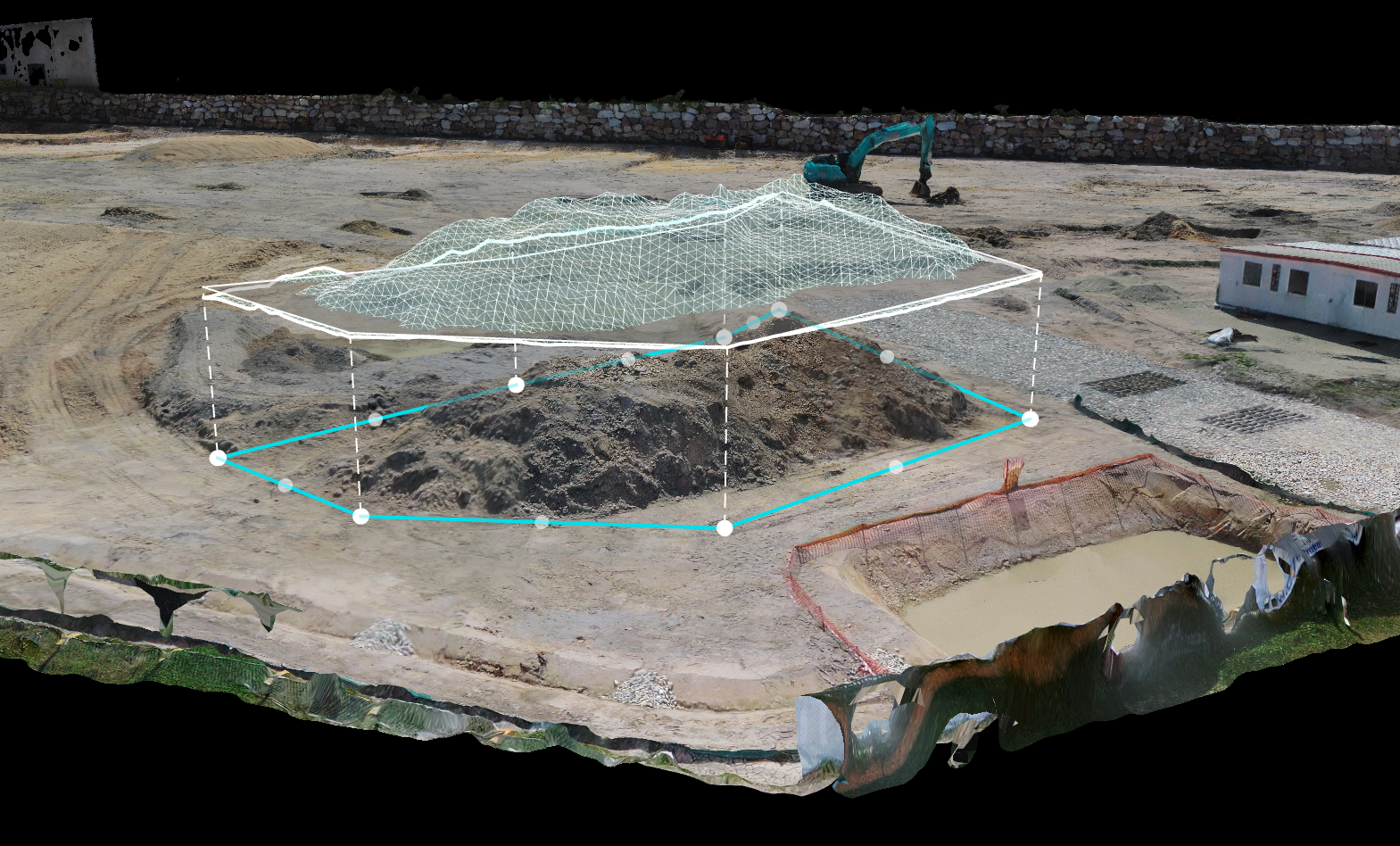
3D Model
Find answers to your most pressing questions about our 3D mapping services.
3D modeling with drones involves capturing aerial images and data to create a highly detailed, three-dimensional representation of an area or structure. This method is popular in fields like construction, real estate, and infrastructure inspection for its accuracy and efficiency.
Industries such as construction, urban planning, agriculture, mining, and asset management benefit significantly. These solutions aid in tasks like site monitoring, asset inspections, crop health analysis, and operational optimization.
Drones equipped with advanced GPS & RTK and high-resolution cameras achieve accuracy levels within 1–2 centimetres, ensuring precise modelling. This level of accuracy is essential for tasks requiring fine detail, such as engineering assessments and land surveys.
Absolutely. By creating 3D models, companies can monitor assets continually and predict maintenance needs before issues arise, which reduces downtime and maintenance costs.
Drones can capture data for a 3D model in minutes to hours, depending on the area size. Once data is captured, processing time can vary on capture time, size and data rate.