
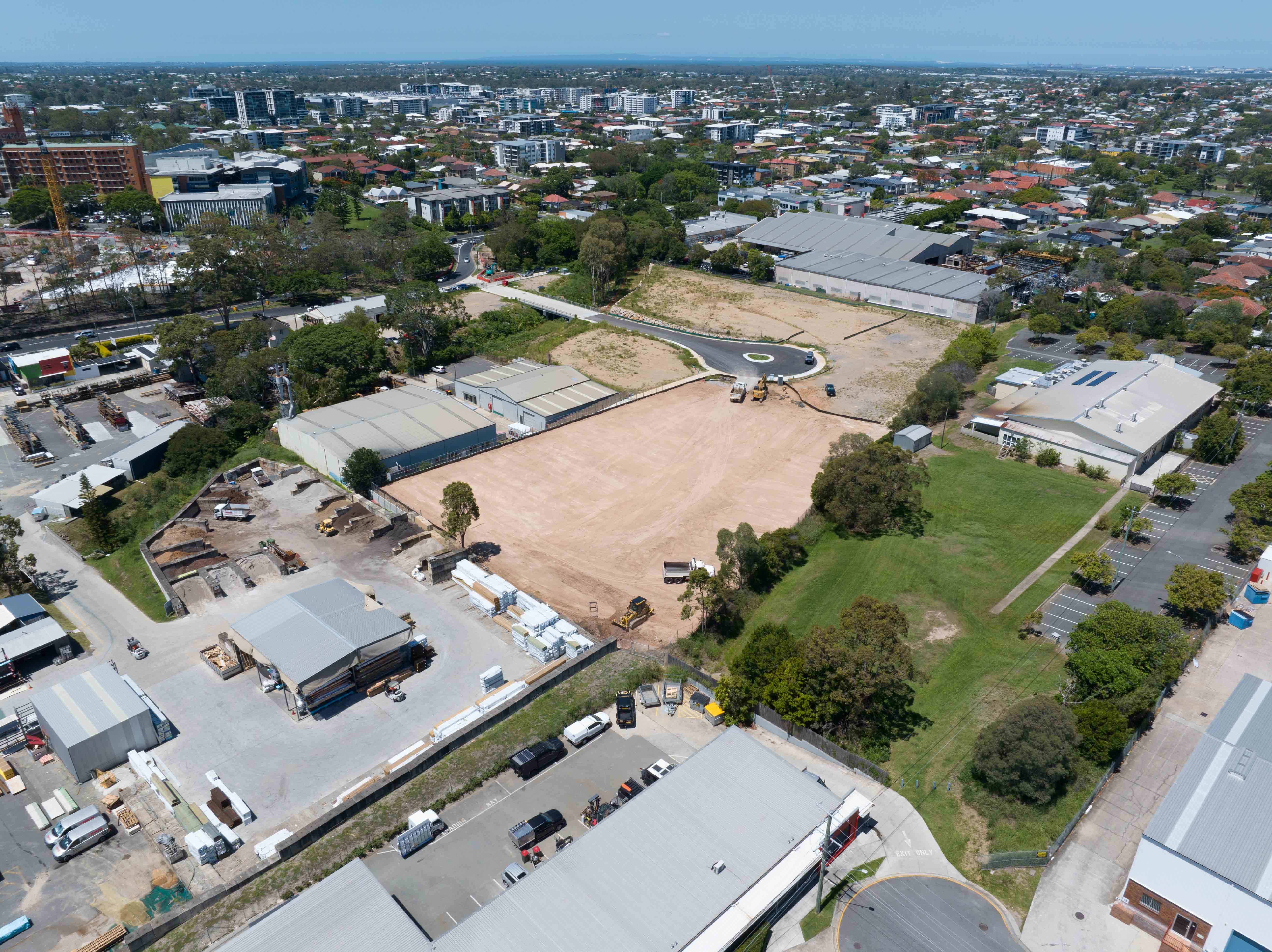
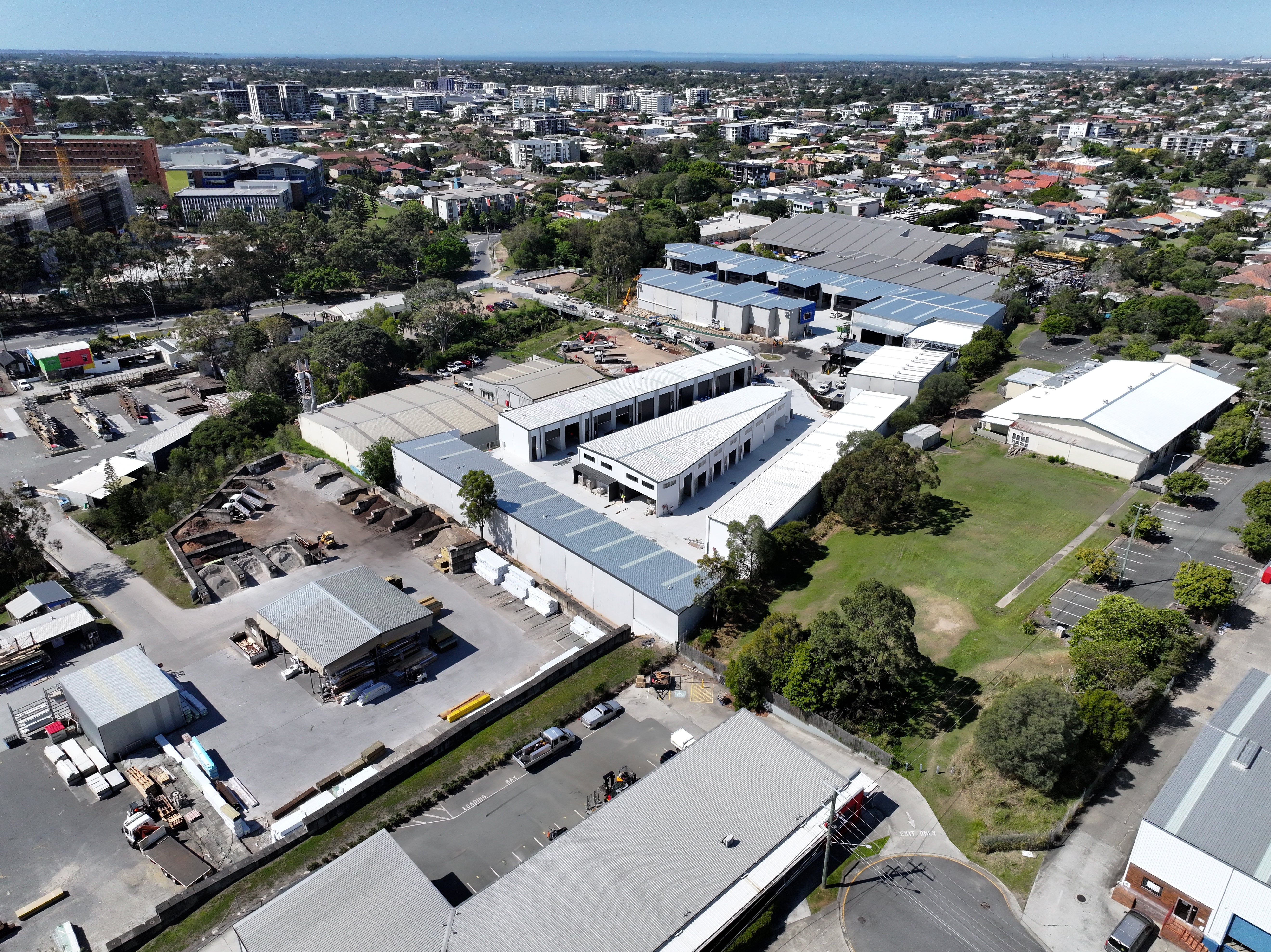
Efficient and Precise Site Surveying with Drones
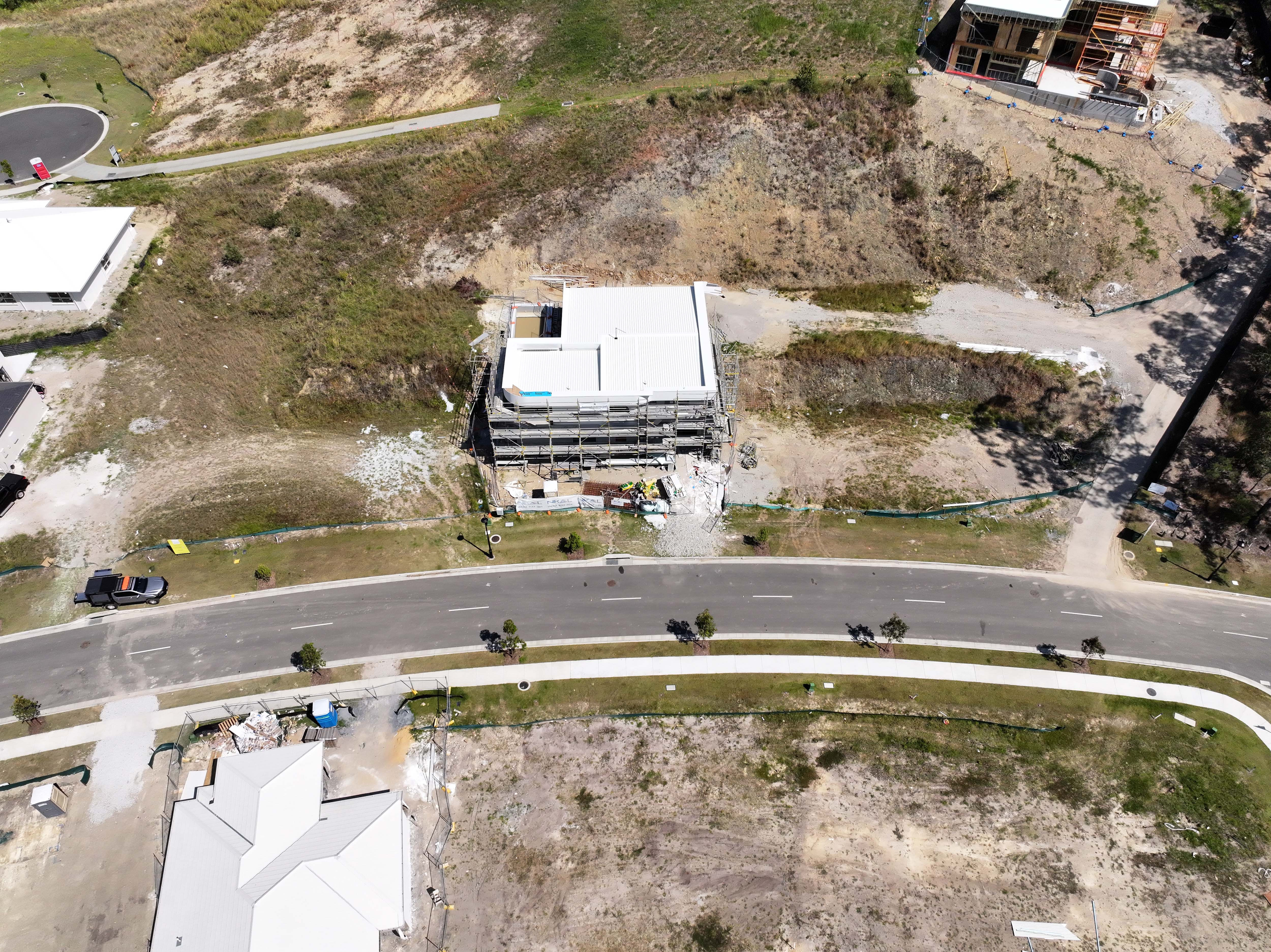
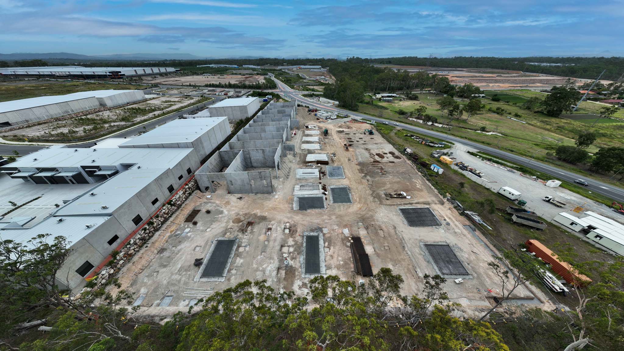
Our drone services provide developers and construction companies with topographic surveys and site analysis that are both precise and efficient. By utilizing drones, we are able to capture detailed aerial data and provide accurate measurements for your project. With our advanced technology and experienced team, we ensure that you have the information you need to make informed decisions and optimize your construction process.
Enhance Construction Progress Tracking with Aerial Timelapse and Hyperlapse Videos
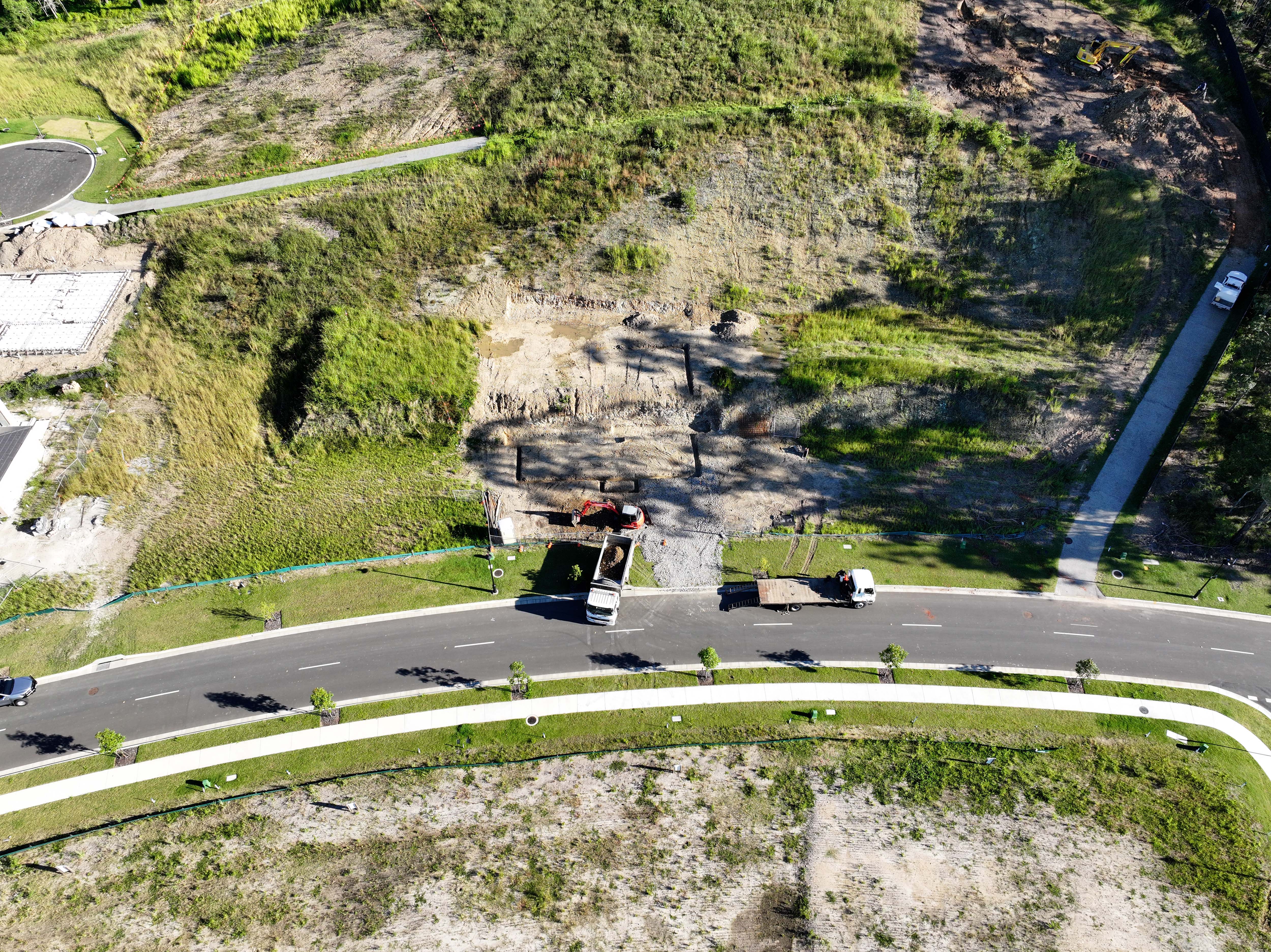
Capture Your Project's Evolution with Stunning Aerial Timelapses
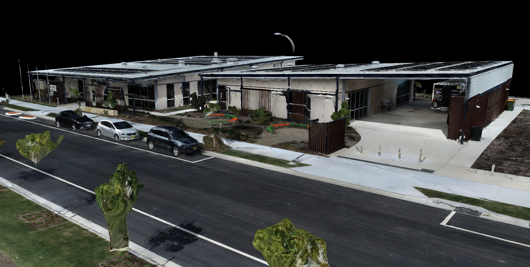
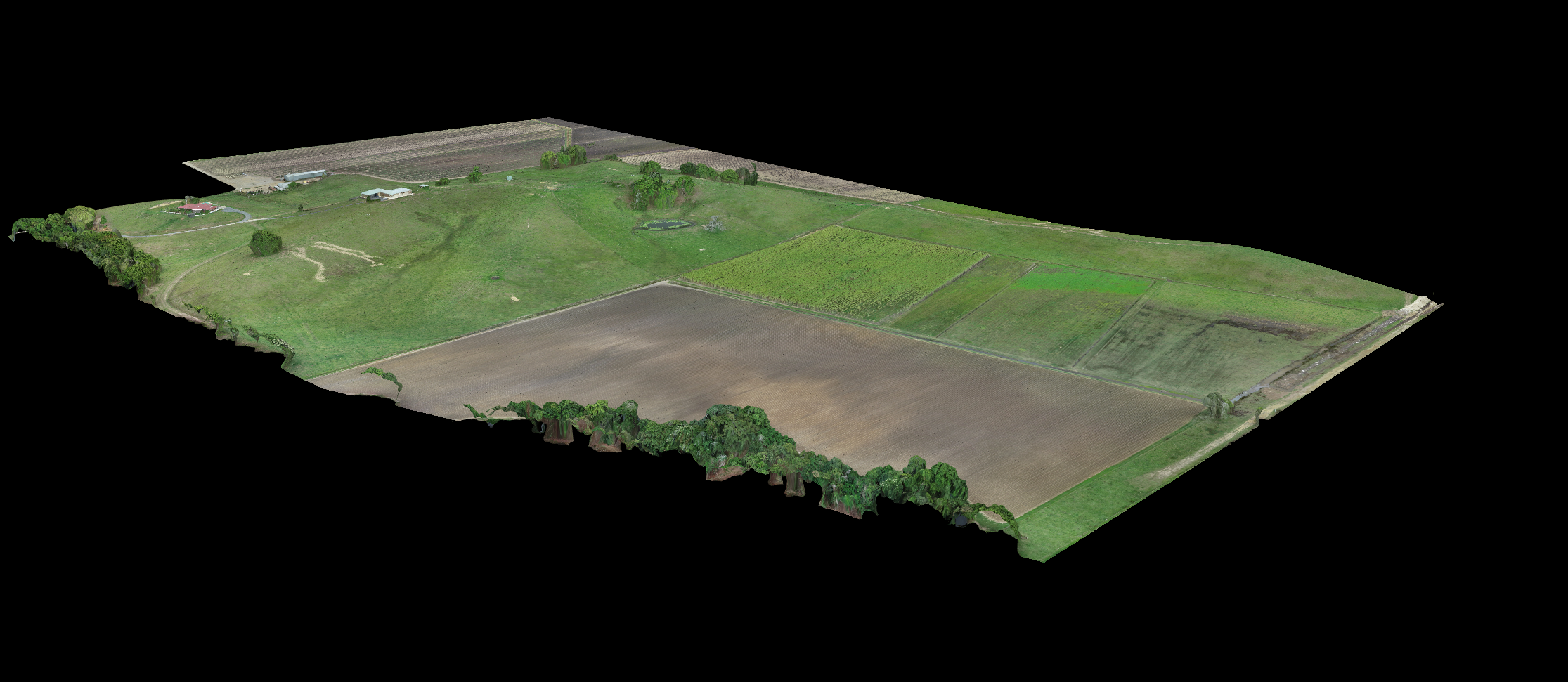
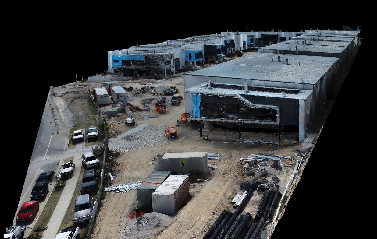
Transforming Construction Sites with Detailed 3D Models and Digital Twins
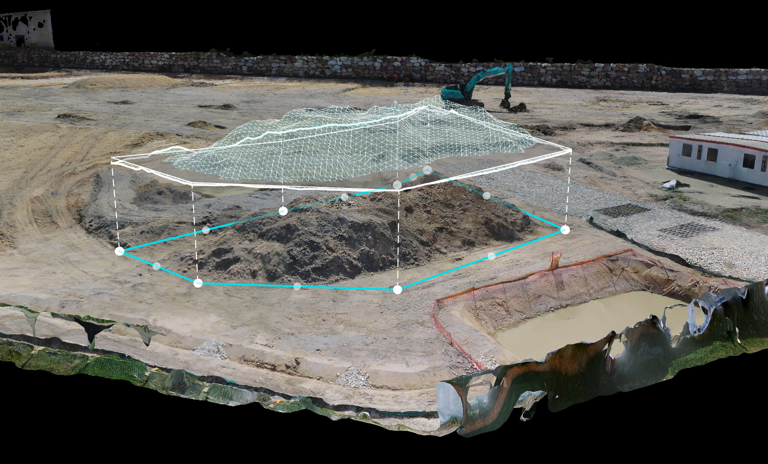
At One Two Shoot Media, we leverage state-of-the-art drone technology to capture highly accurate and detailed 3D models and digital twins of construction sites. Our team of experienced professionals harnesses the power of drones to gather comprehensive data, providing developers and construction companies with invaluable insights to optimise and streamline their projects, ultimately improving efficiency and reducing costs.
Discover Our Drone Services for Developers and Construction Managers
Precision 3D Modelling for Accurate Project Planning and Execution
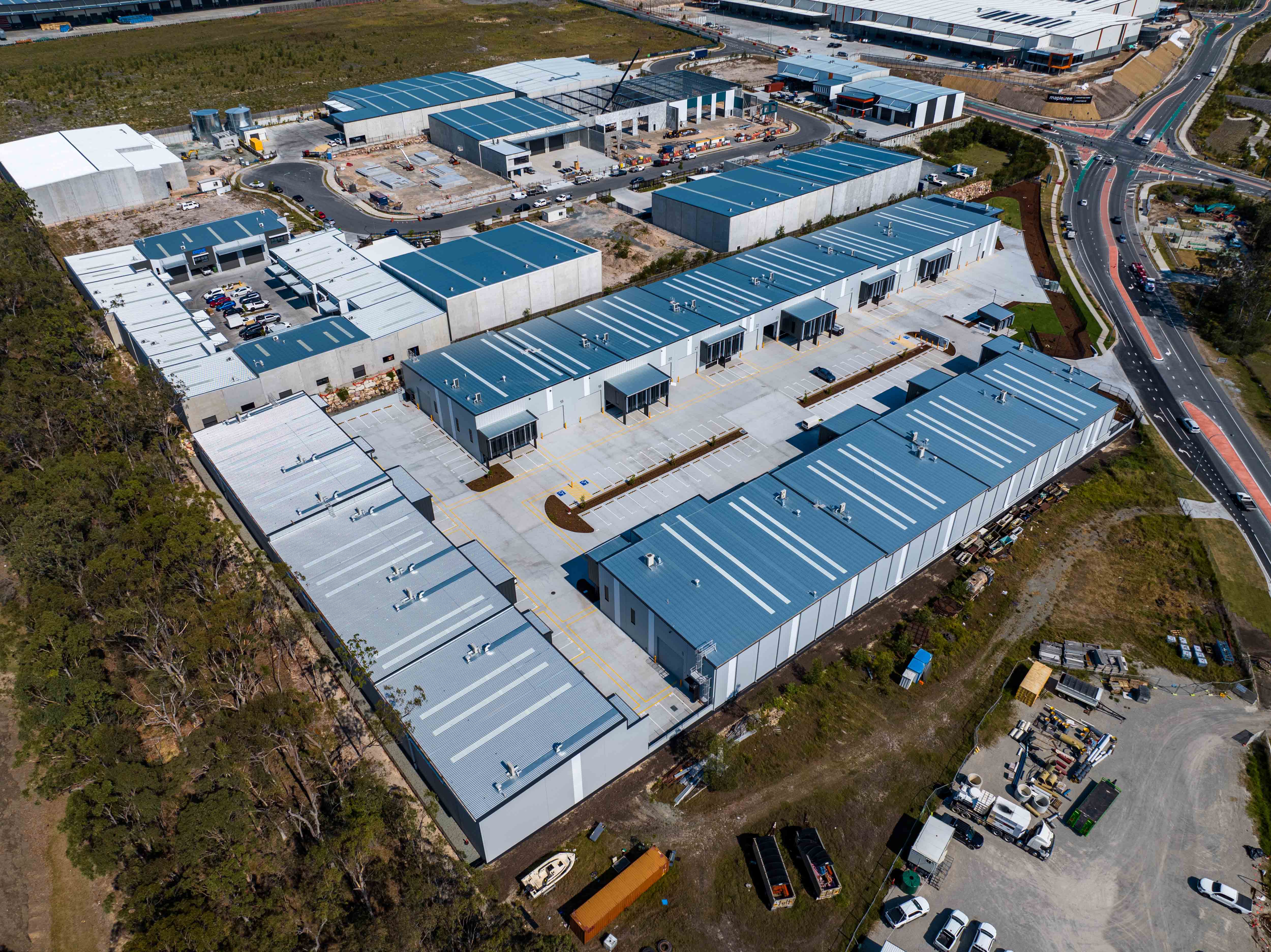
Stunning Aerial Photography to Showcase Your Developments
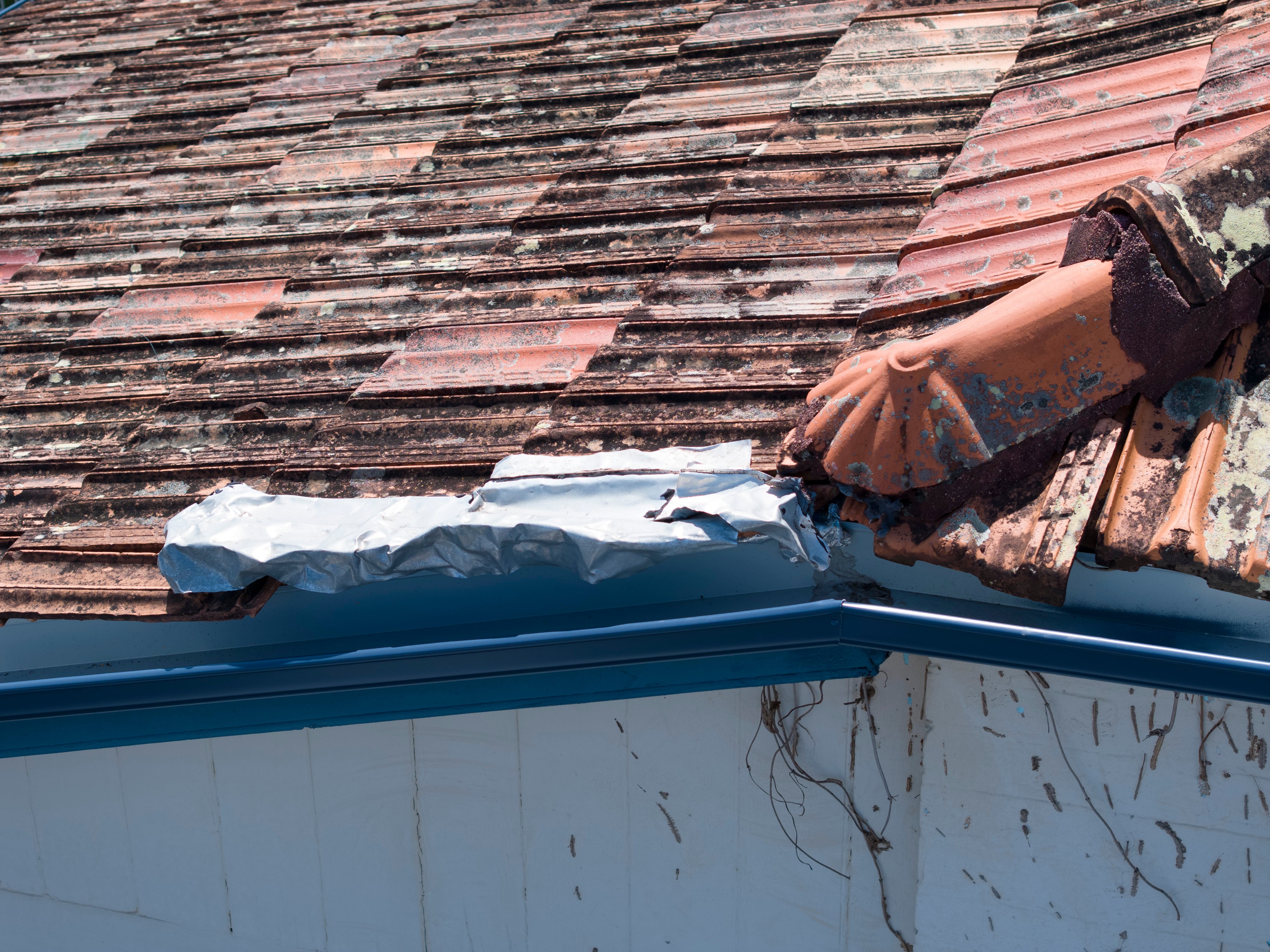
Drone Inspections for Developers and Construction Managers
Elevate Your Construction Projects with Aerial Drone Solutions
At One Two Shoot Media, we offer a range of cutting-edge drone services specifically designed for developers and construction companies. Our services include site surveying and progress tracking with aerial timelapse and hyper lapse video, providing you with valuable insights and enhancing project management.
Document Your Project with our Drone Timelapse Services
Baseline (Basic Package)
Essential drone documentation for your construction site. Includes regular aerial photography and basic time-lapse footage to track project progress and maintain visual records.
- Monthly aerial site photography (5-10 angles)
- Basic video hyper lapse (1 angle)
- Digital delivery of all footage
- 48-hour turnaround on deliverables
Blueprint (Mid-Tier) Package
Comprehensive aerial documentation combining high-resolution photography, detailed time-lapse sequences, and basic 3D site modelling. Perfect for project management and stakeholder presentations.
- Monthly aerial site photography (15-20 angles)
- Multi-angle video hyper lapse (3 angles)
- Basic 3D site modeling
- Site measurements and calculations
- 72-hour turnaround on deliverables
Masterplan (Premium Package)
Complete aerial documentation solution featuring precision photography, advanced time-lapse storytelling, detailed 3D modelling, and regular progress reports. It is ideal for complex projects requiring detailed monitoring and visualisation.
- Monthly aerial site photography (25-30 angles)
- Premium time-lapse (5 angles)
- Detailed 3D site modeling
- Volumetric calculations
- Elevation mapping
- 3-day turnaround on deliverables
- Priority support
Engineer (Custom Solution)
Find answers to frequently asked questions about our drone services for developers and construction projects.
Drone timelapse captures progress over time, creating a video that showcases project milestones. It’s great for tracking stages, sharing updates, and marketing future developments.
Hyper lapse adds movement, with the drone following a path while capturing shots. It creates a cinematic effect, ideal for large sites or dynamic presentations.
Both provide clear visual records of progress, enhance communication with stakeholders, and make compelling marketing content.
Images can be taken daily, weekly, or monthly, depending on project needs. Typically our client opt for monthly or bi-monthly intervals.
Yes, bundles can include timelapse, hyper lapse, inspections, and 3D mapping for comprehensive coverage and cost savings.
